Mapping and GIS
Trimble Geospatial Solutions
Trimble Geospatial Solutions is integrated with seamless workflows.
Combining positioning, communications, and software to equip the mobile workforce.
Mapping & GIS products improve productivity by geo-enabling field workforces with high accuracy, rugged, and easy-to-use products.
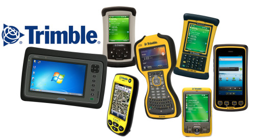
TRIMBLE HANDHELDS
Trimble GNSS handhelds combine a Global Navigation Satellite System GNSS receiver with a field computer powered by a Windows Mobile operating system, along with a range of features and accessories for the entire field and office workforce.
TRIMBLE SOFTWARE
Trimble offers a range of field and office software solutions designed for Mapping and GIS applications. The software and applications provide first time GIS users and surveyors with a complete approach to managing fieldwork.
RECEIVERS
Trimble GNSS receivers are a flexible positioning solution for productive and accurate GIS data collection. They provide timely and accurate data for decision-making and integrate seamlessly with industry-standard GIS systems and professional GIS data collection workflows.

POSITIONING SERVICES
Trimble’s correction services applications span a wide range of applications beyond the traditional Survey, Mapping and Construction applications. Trimble offers a range of correction services for your range of accuracy requirements.