Abuja Office

Samuel Andrew Tokpaf
General Manager - Abuja, NigeriaGeneral Manager
Samuel Andrew Tokpaf is the Acting GM at Sambus Geospatial Nigeria Limited, specializing in the geospatial industry. His primary role involves identifying business geospatial needs, delivering impactful presentations, and utilizing ArcGIS tools. Samuel’s leadership in the sales department consistently achieves significant milestones. He possesses expertise in Advanced Excel, Power BI, SQL, Product Management, Trello, and Scrum, combining these skills for GIS analysis and project management. Holding a bachelor’s degree in Geography and Planning, he has certifications in Product Management and Scrum Master. Samuel’s internship experience enhanced his analytical skills, making him well-suited to drive success and impact in geospatial analysis.

Edmond Sunabiji Waziri
Business Development Lead - Abuja, NigeriaBusiness Development Lead
Edmond Sunabiji Waziri is currently serving as the Acting Business Development Lead at Sambus Geospatial Nigeria. He is an enthusiastic GIS Analyst dedicated to unlocking his full potential in the field. He holds a Bachelor’s degree in Geography from Gombe State University and a Master’s degree in GIS from Bayero University Kano. He has further certifications in Google Earth Engine, Programming, Digital Marketing, Microsoft Office Suite, and computer hardware. With a strong background in GIS and Remote Sensing, Edmond specializes in Flood Modeling and Assessment, Environmental Assessment, and Natural Resources Management. He also has a keen interest in programming and computer hardware.

Kosisochukwu Ekesena
Human Resources Lead - Abuja, NigeriaHuman Resources Lead
Kosisochukwu Ekesena is the Human Resources Lead for Sambus Geospatial Nigeria. A strategic HR personnel who translates business visions into HR initiatives that improve performance, human capital management, and employee engagement. She is a graduate of Business Management from the University of Nigeria Nsukka and has a Master’s degree in Human Resource Management from Nasarawa State University Keffi. She has over 12 years of industry experience in the areas of Client Relationship Management, Human Resources Management, and Office Administration.

Elijah Sanity Enemona
Acting Technical Sales Lead - Abuja, NigeriaActing Technical Sales Lead
Sanity Elijah Enemona is an optimistic and enthusiastic sales professional with over four (4) years of experience as a technical sales specialist in geospatial technology and providing solutions. He has experience working for both government and private organizations applying different aspects of geospatial technology ranging from remote sensing and GIS. He is skilled at developing the right action plan for each of his client’s unique needs and is committed to helping them choose the best product, and provide solutions and value from the use of the product. Throughout his career at Sambus, Elijah has earned the trust of several of his clients and maintained strong client relationships that generate repeat business. He holds a Bachelor of Science degree in Geography and Planning from the University of Jos and a Master’s in View on Environmental Resources Management at the University of Abuja. He is currently the Acting Team Lead for Technical Sales at Sambus Geospatial Nigeria.
Lagos Office

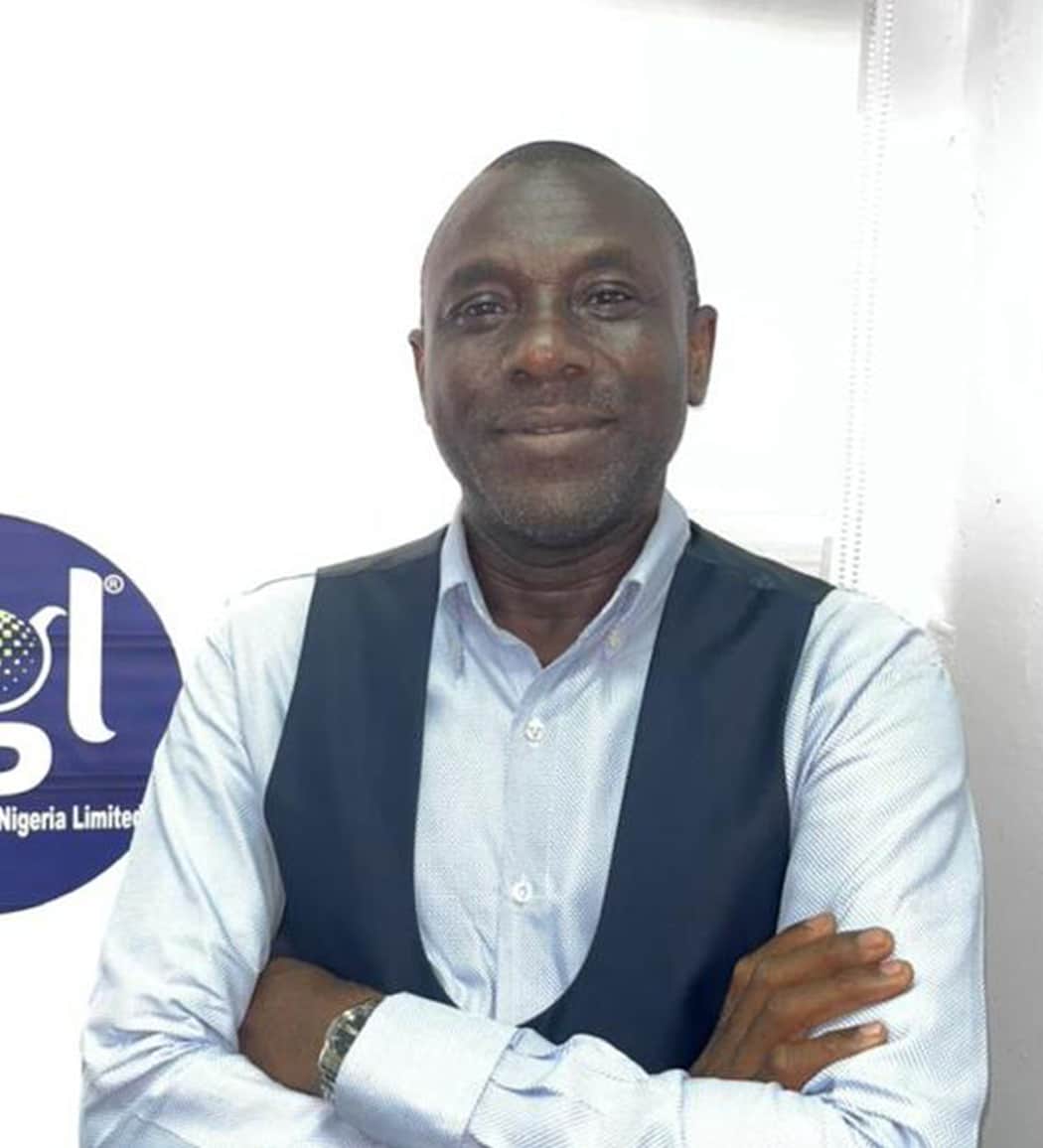
Louis Iwegbuna
Regional Manager - Lagos, NigeriaRegional Manager – Lagos, Nigeria
Louis Iwegbuna is an accomplished Sales, Strategy, and Business Development professional with a proven track record in competitive environments. He excels in driving growth, reducing costs, and solving complex business challenges. Louis is passionate about fostering digital technology for a better future, specializing in the education, training, and technological industry. He is customer-focused and has a strong ability to exceed expectations. With experience in presales, sales, and aftersales, he is a quick learner and adept at adapting to changing scenarios. Louis is committed to building outstanding relationships and maximizing revenue growth. His expertise spans various industries, including energy, IT, telecommunications, construction, manufacturing, financial services, and oil and gas.

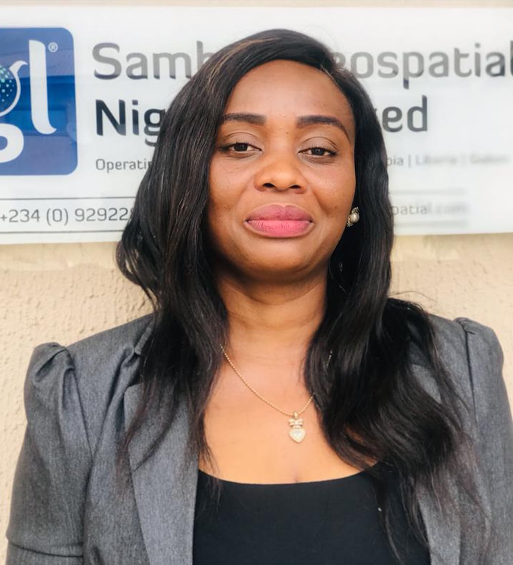
Ijeoma Annabel Ozonga
Finance & Operations Lead - Lagos, NigeriaFinance & Operations Lead – Lagos, Nigeria
Ijeoma Annabel Ozonga is the Finance and Operations Lead at Sambus Geospatial Nigeria, assuming this role in 2020. With a strong background in economics and office technology, she adeptly manages financial operations and internal processes. Ijeoma holds a Bachelor’s degree in Economics, complemented by a National Diploma in Office Technology. She is also certified in QuickBooks International Online, showcasing her proficiency in financial management software.