NV5 is a leading provider of image analysis and data visualization software tools designed to help professionals across industries and disciplines get the information you need from your remotely sensed data to solve complex problems.

NV5 Geospatial Solutions provide users with scientifically proven technologies needed to make accurate and informed decisions using remotely sensed imagery and data.
One feature of ENVI that makes it easy to use is our step-by-step workflows that use scientifically proven techniques to quickly and easily guide you through advanced image analysis tasks, regardless of your experience level.
Some of our more popular workflows are:
- Change Detection: look for areas of change by comparing two images from different dates using band ratio or feature index techniques.
- Classification: classify terrain automatically or with specifications defined by you.
- Feature Extraction: find objects of interest using parameters based on spatial, spectral, and textural characteristics. Support different Imagery and data.
NV5 Geospatial have a legacy of supporting whatever data types you are using.
ENVI supports over 70 data formats. The following table lists the data types that ENVI supports.
- Provides JITC compliant NITF support, a separate NITF/NSIF license is required to view NITF files.
- Image types like GeoTIFF,
- Scientific formats HDF and CDF,
- A selection under the Remote column indicates that you can open the data type through the Open Remote Dataset dialog and the Remote Connection Manager.
See the following sections for more details:


The ENVI image format is a flat-binary raster file with an accompanying ASCII header file. The data are stored as a binary stream of bytes in one of the following formats, often referred to as the interleave type:
- Band Sequential: BSQ format is the simplest format, where each line of the data is followed immediately by the next line in the same spectral band. This format is optimal for spatial (x,y) access to any part of a single spectral band.
- Band-interleaved-by-pixel: BIP format stores the first pixel for all bands in sequential order, followed by the second pixel for all bands, followed by the third pixel for all bands, and so forth, interleaved up to the number of pixels. This format provides optimum performance for the image data’s spectral (z) access.
- Band-interleaved-by-line: BIL format stores the first line of the first band, followed by the first line of the second band, followed by the first line of the third band, interleaved up to the number of bands. Subsequent lines for each band are interleaved similarly. This format compromises performance between spatial and spectral processing and is the recommended file format for most ENVI processing tasks.
The ENVI raster format does not support 64-bit integer (signed or unsigned) data types.
Product Portfolio
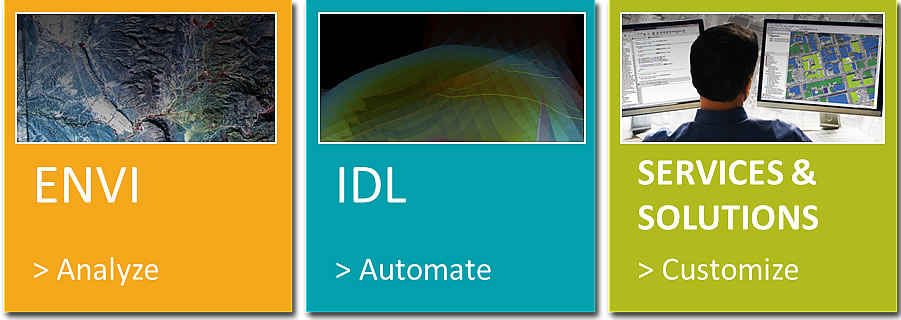
The NV5 Geospatial software and solutions portfolio is an end-to-end content solution, from ingest to search and discovery to image analysis and delivery to the people who need it most.

-
1
ENVI
ANALYZE
-
2
IDL
AUTOMATE
-
3
SERVICE & SOLUTION
CUSTOMIZE