Sambus Articles
Read the latest articles developed by
Sambus Geospatial on various industry
specific geospatial topics.

MOST RECENT IN SAMBUS ARTICLES
GIS Workflows Trend: Python In ArcGIS Pro
Python has become an essential programming language for geospatial analysis because it has become adopted by major GIS platforms. Increasingly, users have also seen its potential for data analysis and its relatively easy to understand syntax has helped increase user numbers.
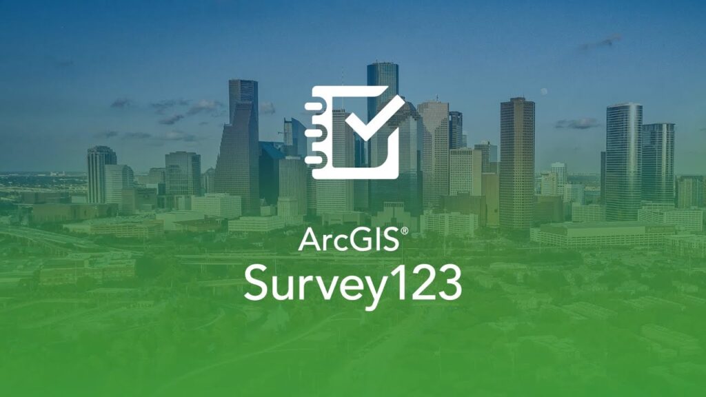
Survey 123 for Data Collection of Humanitarian Activities
Overview Survey123 for ArcGIS is a simple form-centric field data gathering solution used in the humanitarian sector that makes creating, sharing, and analyzing data collected in three simple steps: ask questions, […]
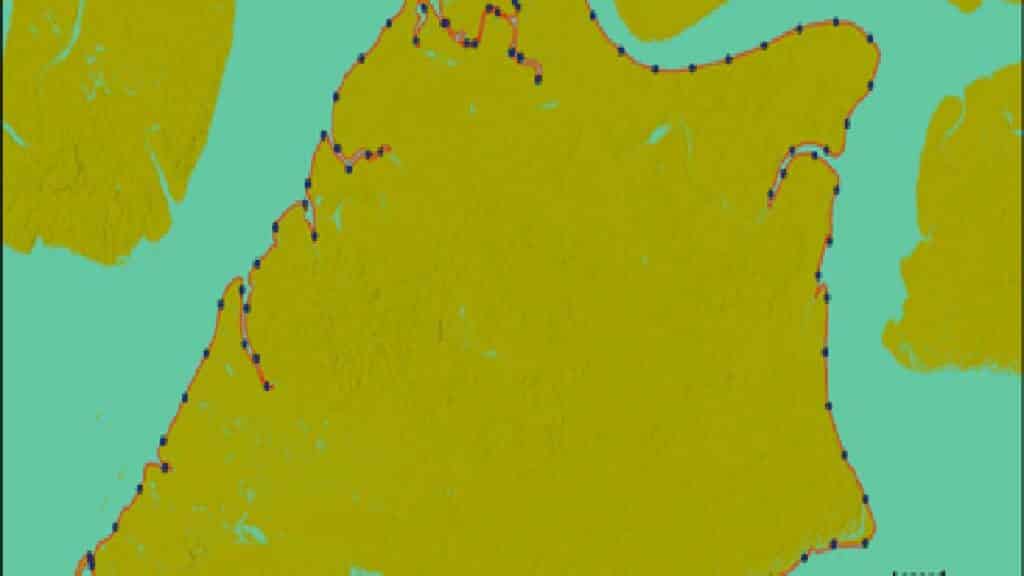
Automatic Shoreline Delineation Using Geospatial technology
Case Study of Bonny Island Delineation of Shoreline is a fundamental task practised in different fields for developing setback planning, erosion-accretion studies, hazard zoning, boundary monitoring and predictive modelling of […]

Monitoring Akure Forest Reserve Change Over Time
This project aims to analyse vegetation’s spectral reflectance changes in the Akure forest reserve over time using the LandTrendr tool in ArcGIS Pro. Change Detection Analysis encompasses a broad range […]

Streamlining Future Projects with Construction Drones
Drones! You’ve heard about them and seen them all over the place. Drones provide endless possibilities and applications, whether flying around a room or shooting unusual aerial footage even in […]
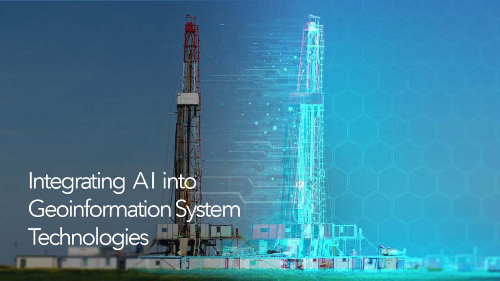
Integrating Artificial Intelligence (AI) into GIS Technologies
In recent years, artificial intelligence (AI) has advanced rapidly, equal or even surpassing human accuracy in tasks such as image recognition, reading comprehension, and text translation. In broad terms, AI […]

GIS Workflows Trend: Python in ArcGIS Pro
Python has become an essential programming language for geospatial analysis because it has become adopted by major GIS platforms. Increasingly, users have also seen its potential for data analysis and […]
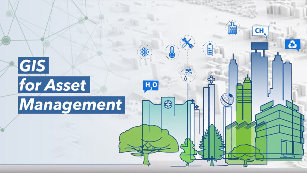
Using GIS for Asset Management
Geographic Information Systems (GIS) have greatly become beneficial as an underpinning and qualifying technology within most sectors and especially within the area of business intelligence, including asset management. Research proves […]
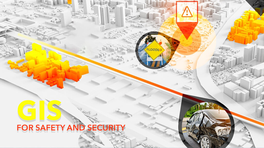
GIS for Safety and Security
The world is advancing rapidly. The population is springing up, technological metamorphosis is gaining strength and so are episodes of dangers and perils. In an era where we live every […]
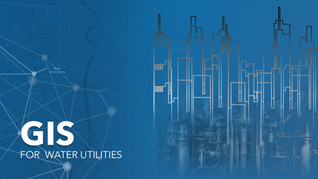
Building an Intelligent Water Management System with GIS
The water industry supply drinking water, wastewater (Sewage) treatment to other industries, residents and the commercial sectors. As well as provide strong industrial and manufacturing capabilities. The industry brings into […]
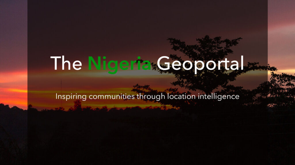
The Nigeria GeoPortal
The Nigeria GeoPortal is a one-stop-shop for open geospatial datasets in the Nation which avails you the opportunity to access a variety of geospatial tools, open data, training, and learning […]
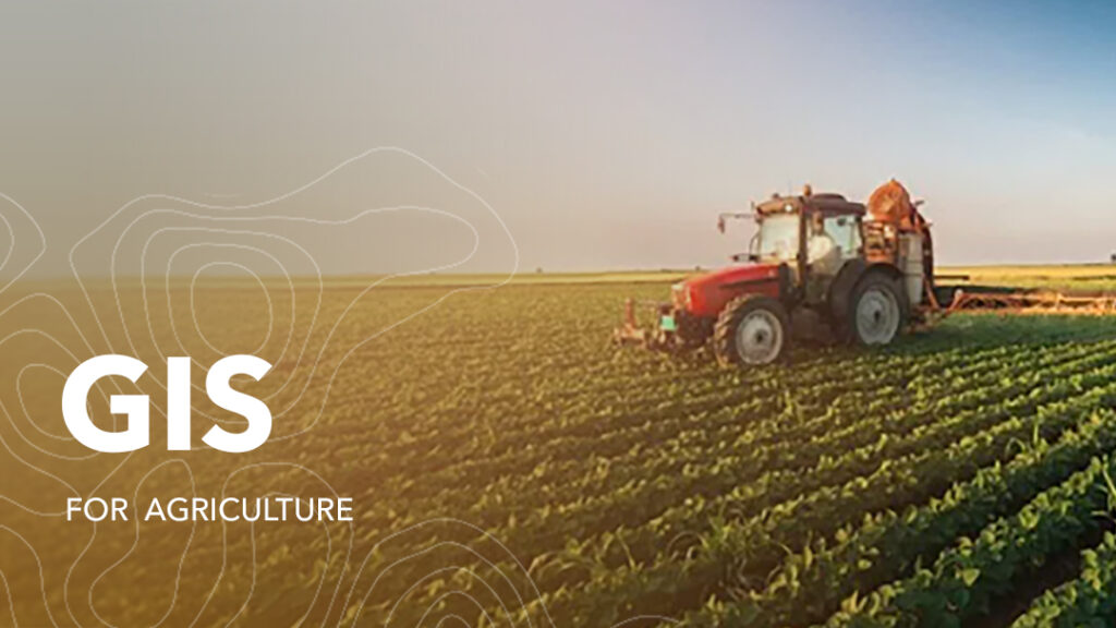
GIS for Agriculture
Agriculture has been the driving force of development and growth of many civilizations and economies. It is often referred to as the science of cultivating plants and rearing of livestock. Over time, industrial agriculture has revolutionized and as part of that change the sector has adopted more efficient and productive methods in cultivation and animal husbandry.
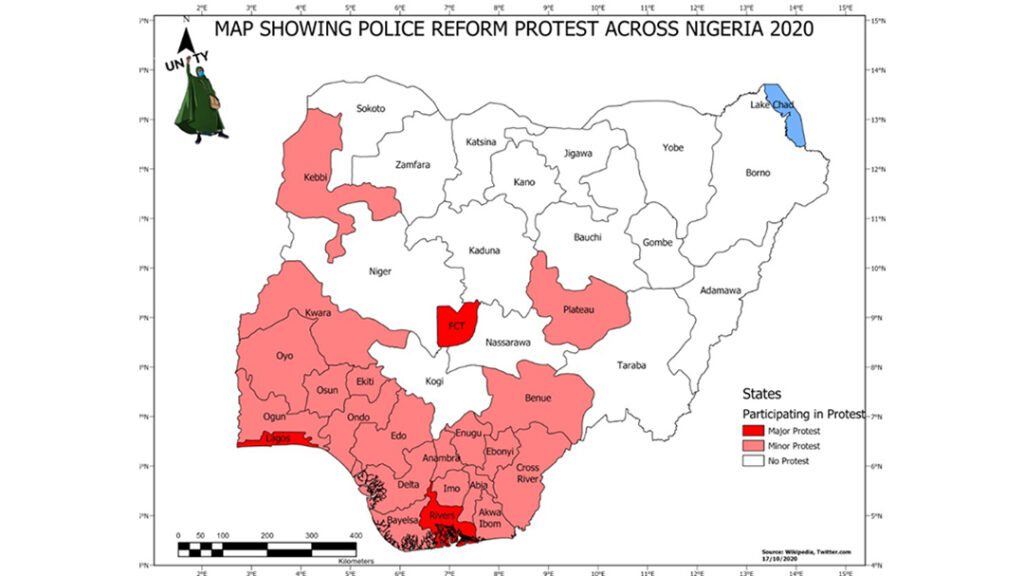
Combating Crime in Nigeria using GIS
The #ENDSARS protest in Nigeria began as a demand for Justice but escalated into a nationwide if not a global concern. The youth claimed that officers responsible for some unlawful […]
Saving Our Forests With GIS
Geographic Information systems – GIS is a framework for gathering, storing, analyzing, and displaying spatially referenced data. GIS has improved forest inventory data thus enabling foresters to improve forest conditions, […]
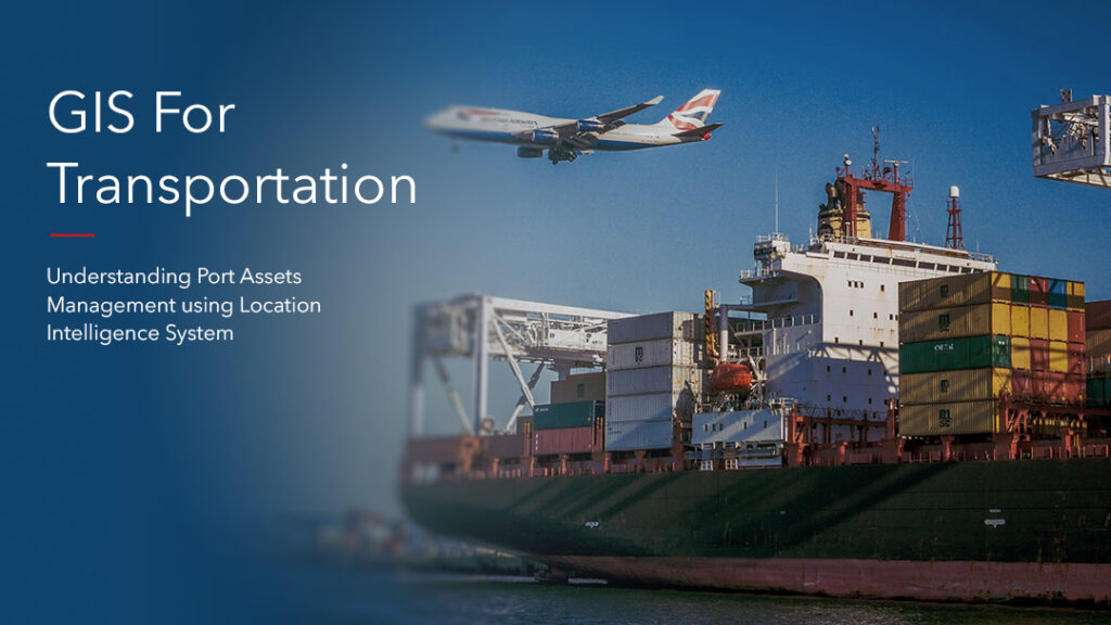
GIS for Transportation
Port Assets Management with Location Intelligence Systems. Location plays a critical role in all transportation activities. The recent advances in GIS (geographic information system) technologies have resulted in the development […]
GIS for NGO’s
Geographic Information System (GIS) is a software framework for capturing, storing, analyzing, and displaying spatial data. It analyses spatial location and organizes layers of information into visualizations using maps or […]
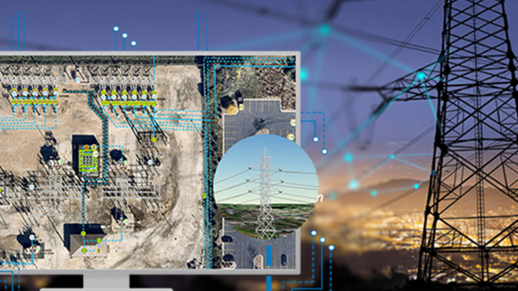
ArcGIS for Utility Asset Management
Utilities all through the world are confronting unprecedented changes – from privatization of government- owned utilities, renewable energy down to rivalry for discounted and retail clients. In addition, mergers and […]
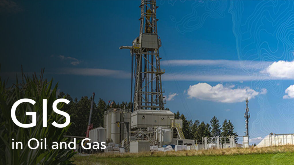
Location Intelligence in Oil & Gas
Many companies have embraced Digital Transformation in their decision-making processes today as smart technology and connected systems continue to prove how efficient they can be in everyday business operations. The […]
Geographic Information System (GIS) Applications in Health
There are several reasons why health agencies are turning to Geographic Information Systems (GIS) applications, but research application is at the top of it all. The fact that this discipline […]

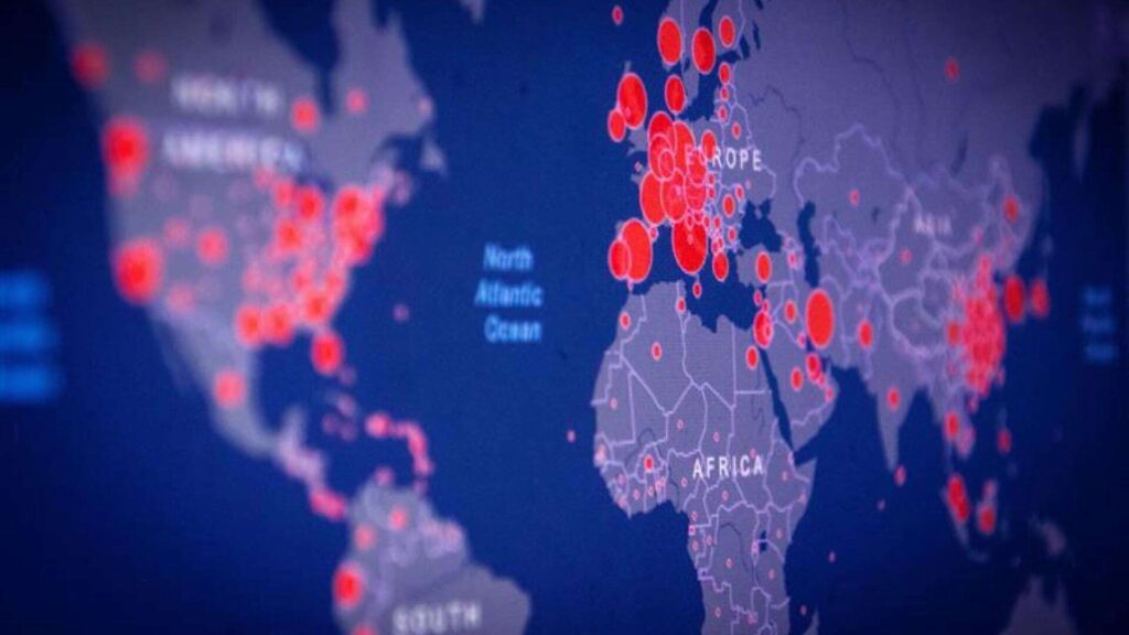
Lassa Fever Dashboard by SGNL
At this difficult time when most nations are engaging in fight against COVID-19, Lassa virus suspected cases has continued to rise significantly as a major health challenge in the West […]