Integrating Artificial Intelligence (AI) into GIS Technologies
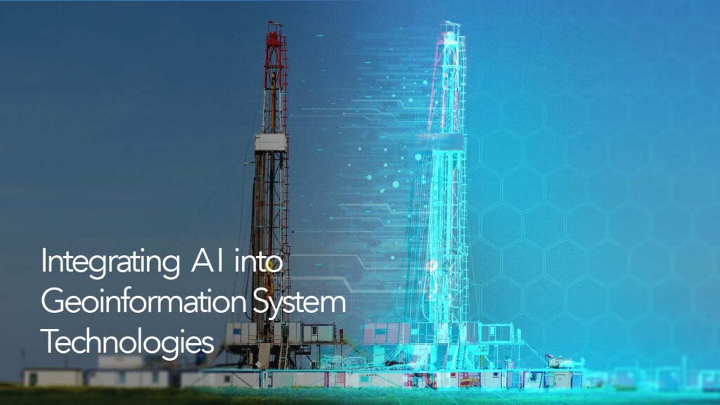
In recent years, artificial intelligence (AI) has advanced rapidly, equal or even surpassing human accuracy in tasks such as image recognition, reading comprehension, and text translation. In broad terms, AI refers to a computer’s capacity to accomplish a task that normally needs some level of human intellect. Machine learning is one type of engine that makes this possible. It learns from data using data-driven algorithms to provide you with the answers you require. Deep learning is a new type of machine learning that uses computer-generated neural networks that are inspired by and resemble the human brain to solve problems and make predictions. The convergence of AI and GIS is opening up previously unimaginable possibilities. AI GIS is a phrase that refers to a group of technologies that combine artificial intelligence (AI) with GIS operations such as spatial data processing and analysis algorithms (GeoAI). AI GIS has progressively been the major focus of geoscience research and application in recent years.
AI GIS technology is divided into three components (GEOAI, AI for GIS and GIS for AI), often known as the trilogy of AI GIS (Super Map, 2020).
GeoAI is a spatial data processing and analysis algorithm that integrates AI. GeoAI is divided into two parts: geospatial machine learning and geospatial deep learning. Using Geospatial Machine Learning in ArcGIS, users may tackle a number of GIS application challenges such as geographical clustering, spatial classification, and spatial regression. The Geospatial Deep Learning algorithms in ArcGIS, for example, include 3D data analysis and image analysis. AI for GIS on the other hand refers to the application of artificial intelligence (AI) to improve the intelligence of GIS software, such as AI attribute collection, AI survey and mapping, AI cartography, and AI interaction.
GIS for AI is when GIS empowers AI by using its geographical visualization and spatial analytic capabilities to further process and mine data when confronted with AI recognition findings. Traffic flow monitoring, city component management, are examples of map visualization applications that can provide decision makers with a more intuitive form of information expression, while in-depth processing and mining of AI extraction results can enable real-time geo-fence alerts, vehicle tracking, and other applications.
The most competitive firms are investing strategically in artificial intelligence (AI), particularly machine learning, and using location data as a connecting thread to automate processes, improve predictive
modeling, and gain competitive advantages. Location analytics is already being used by these prominent companies to find hidden trends, get critical insights, and gain a competitive advantage. AI systems are used by manufacturers to improve supply chain logistics, automate inspections and quality control, schedule predictive maintenance, and identify any unexpected activities before they delay production. Retailers on the other hand use machine learning and location intelligence for site selection, customer support, price setting, supply chain optimization, location-based advertising, and providing personalized customer experiences. To keep one step ahead, operations managers, route planners, and drivers utilize artificial intelligence (AI) to fill in gaps in road network databases, track assets in real time, properly estimate arrival times, and anticipate future supply demands. Government agencies employ georeferenced drone and satellite photos to automate fieldwork, model growth scenarios, predict crop yields, and monitor crop health in real time using machine learning algorithms.
In an interview, Liezel Botha, the Geospatial Technology Lead at Esri South Africa, discussed the key uses of Geo AI in South Africa, which include image analysis for change detection. He went on to explain that Geo AI makes rapid change detection analysis possible which in turn aids effective and timely decision making. Backyard buildings, rooftop solar panels, and cases of land encroachment on electrical servitudes are all examples of applications in South Africa. The study of sales and telemetry data, site selection for new enterprises, and the verification of fire or flood insurance claims are all commercial applications of Geo AI in South Africa.
Using AI GIS to better develop the next generation of GIS technology systems is a viable solution to the GIS system’s existing intelligence challenge. Additionally, AI technologies like speech recognition and language processing can be integrated, allowing GIS operations to be more empowered. However, AI GIS is currently in the Narrow AI stage (AI created to solve one given problem) and is a long way from being able to do general AI (AI created to solve any problem that requires AI). As a result, general AI technology is an important route for the future development of AI in GIS.
Reference
Artificial Intelligence (AI) | How Machine Learning is Transforming Businesses. (2019). Esri.com
What is AI GIS (Artificial Intelligence GIS) ? – SuperMap. (2020, February 26). Super Map. Retrieved 2021, from https://www.supermap.com/en-us/news/?82_2701.html
Wheeler, C. (2021, October 4). Where Deep Learning Meets GIS. Esri. ArcWatch
GEO AI – Where AI Meets GIS – Esri South Africa (2022) Retrieved 2021, www.esri-southafrica.com


