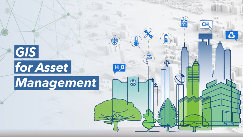
Using GIS for Asset Management
Geographic Information Systems (GIS) have greatly become beneficial as an underpinning and qualifying technology within most sectors and especially within the area of business intelligence, including asset management. Research proves that the expenditure assembled to integrate GIS in assets monitoring has proven to be cost effective as it generates a better return on investment for users within this field.
Assets can be simply explained as resources or items of value which belongs to a company or an organization. The meritorious management of resources is vital in standard workflows, both in the office and on the field. GIS has made it possible to monitor the deployment of assets or resources in one place for optimal utilization and maintenance updates.
In deciding on investment strategies, asset management and analysis can be used to give account of resource conditions to enable decision makers to focus on what to invest in. Almost every business manages and locates assets because it is a very important challenge for them, whether large or small. Usually, businesses wasted labor, struggled to keep up with deadlines and made their clients displeased due to inappropriate resource allocation and mismanagement, slowing down their productivity in the process. There is more to asset management today than just counting equipment and recording numbers into a registry or a balanced sheet. Appreciating the value of an asset, helps organizations to save money spent on resources as they reap the benefits that comes with it greatly.
Today, the new developments in GIS infrastructure have enabled companies to better organize their assets at the core by creating a region to log, display and allocate every information about asset in permutation with any form of conservation or updates needed. With the application of GIS, companies are able to track operations as they maintain the asset strength. GIS has the ability to analyze and collate different types of assets to uncover correspondence, drawbacks and patterns. In effect, asset features such as materials, spatial location, just to mention a few can be preserved and optimized.
In transport asset management, time and money can be saved by automating mapping. Specialized maps can be developed to display the situation of assets and an organized outline of locations. It also has need of appreciable performance of workers. Smaller time can be less spent in making a retaliation to data requisition, thus allowing professionals to spend more time in the analytics and acknowledgement of conditions and asset trends.
Smart maps and dashboards can be utilized by inventive supervisors to establish an expansive perspective of their assets. Habitual functions such as maintenance and a few others can be enhanced by Location intelligence. With real time monitoring and big data logic, businesses can prioritize on every occurrence that is of significance to them to enable them find better solutions at the right time.
In as much as asset management is assisted by GIS, it also invents and aids other GIS applications for Works in the public like infrastructure assets, street maintenance among others.
Project maintenance and repairs are necessities in societies to enable better efficiency. GIS has made it simple for handling assets, while it ensures that work orders elicited from factors like public safety, are being analyzed, by using precise data produced by workers. Upgrading how GIS is manipulated can broaden reach. Fieldworkers and the office professionals can have a connection with the use of specific ArcGIS software developed to function on mobile devices, which helps to create a seamless interaction among users and also share results in the form of maps and analytic dashboards.
Some webapps and analytic tools in the ArcGIS Suite can be utilized to store records for track of maintenance schedules, when the maintenance is performed or executed, the time spent between repairs and also how long assets have been utilized. This enables organizations to maintain assets at a lower cost as compared to replacing tools.
The goal for utilizing location intelligence in asset management, is to make the data of facilities available through easily operated systems, enabling organizations to account for all of its assets, while eliminating ghost resources in a company’s inventory. By ensuring that decision makers have access to the data needed, especially from the preliminary process, it can be assured that facilities and assets would be maintained over time, consequently improving productive speed in the process.