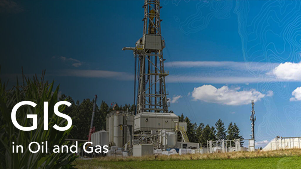
Location Intelligence in Oil & Gas
Many companies have embraced Digital Transformation in their decision-making processes today as smart technology and connected systems continue to prove how efficient they can be in everyday business operations. The Oil and Gas (O&G) industry is no exception to this technological trend.
The impact of such embraced technologies, such as Geographic Information Systems (GIS) leads to developing operating landscape modules for business expansion while the industry continues to reap the benefits of improved productivity, higher efficiency, increased cost savings and effective monitoring. GIS encompasses systems which are able to handle location data and spatial information within the corporate office and the operational field. The cycle begins from data collection and subsequently, the collected data is structured and processed, managed, and analyzed within an allocated database in the system, to guide in decision making and productivity boost.
Usually, GIS systems requires regular updates with data in real time within a cloud system specially dedicated for the storage of locational data. In most, O%G companies, locational data also tends to explore streaming- what is termed as – the Internet of Things (IoT) data on maps and dashboards, identify temporal patterns, and extract location-based intelligence using GIS Infrastructure. The Internet of Things (IoT) simply defined as a network of computers, comprises of devices around the world that are connected to the internet, constantly collecting and sharing data, thanks to the development of wireless network computer chips.
In addition, GIS Professionals within the O&G industry oftentimes leverage spatial – big data to gain real-time visibility into the day-to-day operations of the industry as they make efficient decisions based on increased situational awareness.
To dive deeper into the role of GIS in O&G, one needs to understand the general operational workflows within the industry. Oil field management workflows involve exploration processes such as seismic operations; specific identification of mines using coordinates, field practices such as pipeline network management which is used to transfer crude sources to refining plant and management of facilities which also holds the resources needed for operational activities. GIS in this field, takes all the happenings on the field and replicates it in a digital way through modern visualization techniques to make better and well-informed decisions to increase performance. In furtherance of the relevance of GIS in the O&G field, it is important to note that the O&G assets data are vital to the production, sale, purchase, exchange or processing, handling, storage, transporting or marketing of related products in a firm. These factors are quantifiable in GIS as it utilizes data sensors and applications expressly developed for that purpose.
Case Study: During a petroleum user conference, Marathon Oil gave a presentation whereby they leveraged on the IoT Data Feed to explore, collect, and integrate industry related information into digital Maps and Dashboards. The company used IoT feeds to enhance operations and logistics by optimizing feeds from the online fleet of data which is processed to understand the most optimal routes to wells, as they calculated the minimum distance to be covered before reaching the desired location, using ArcGIS. This help to reduce over 20% on their operational cost.
The above illustrations on GIS use in the O&G industry keep endeavouring to reduce costs of operation, improve performance, and reduce the risk levels of operation. The introduction of location intelligence systems has proved to be the answer as GIS systems are able to enable users to efficiently manage oil production processes and assess the environment or field of operations. This has significantly improved the flexibility of work within the O&G industry and seamless workflows tend to influence oil exploration plans, projects, and initiatives.
Article by;
 Sambus Geospatial