Celebrating GIS Week 2020
Geospatial industries in West Africa joins the world in celebrating Geographic Information System – GIS as Esri’s president Jack Dangermond mapped out November 18th for the celebration of GIS Day2020.
Every year, GIS is celebrated all over the world in the month of November for its role in mapping and discovering the world. As part of this global event, Sambus Geospatial joins the celebration in a Week-long series of event.
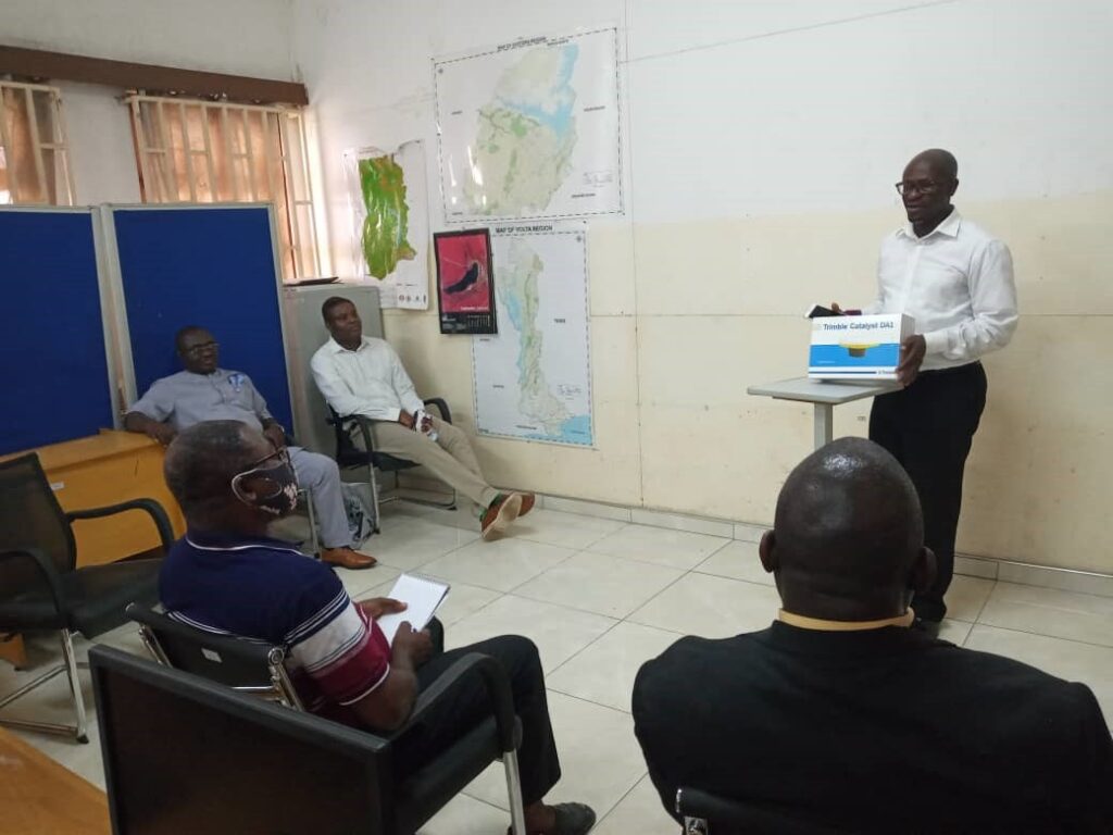
The event took place between 16th to 20th November, 2020. Hosted via zoom, the seminars discussed important themes which aimed at incorporating GIS within the region. The event included a 3-day virtual seminar series and Presentation of a Trimble GNSS device to the Centre for Remote Sensing and Geographic information Systems (CERGIS) under the Geography Department of University of Ghana.
The first-day plenary session held on Monday, 16th November with participants from more than 6 countries in attendance. The event opened with a welcome speech by the Managing director of Sambus Geospatial, Mrs. Akua Aboabea Aboah, followed by an interactive section with Dr. Alex Owusu Barimah, an invited speaker from the University of Ghana.
Speaking on Integrating the African Community through GIS, Dr. Barimah noted that the application of GIS is faced with two major challenges as mentioned by an earlier researcher. These challenges are human problems and data problems. Speaking further, he noted that in order to integrate the African community through GIS, “we need to move away from policymaking centered arena into citizens participation… we need to think in a way that brings all citizens into GIS…” not so everybody can create maps but to become map consumers. He stating that there is a need to spread the technology to every corner of the community.
These discussions are especially valuable at this time that the world is faced with a global pandemic such that both mapped and unmapped areas of society are threatened. Hence, this is a time to incorporate GIS in every community in order to improve information sharing.
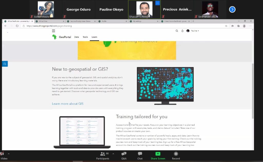
The second day of the event focused on Africa Geoportal with guest speakers from Esri: Ghassan Schbley and Pauline Okeyo. Both speakers shed more light on the benefits of becoming a member of the portal and the resources that are hugely available in the portal. Africa Geoportal is a platform for all GIS users in Africa created by Esri to support the GIS community in the region. The portal is enriched with relevant data from Esri, users, and Africa focus organizations, tools to easily map, analyze, and share information, and learning resources to help you get the most out of the tools and data made available. This is also beneficial for students and researchers who are constantly looking for resources for their project and it is also a great place to showcase your GIS skills and connect with users from all over Africa.
The Sambus GIS Week also included the launch of Sambus Geoworld project which will commence fully in Q1 of 2021. The Geoworld initiative is an educational program and part of Sambus’ corporate social responsibility. The project will enable several schools from primary to tertiary institutions to learn GIS through clubs and also benefit from mentorship programs, free learning resources, and competitions with prizes. This is to increase awareness and foster a GIS community within the academic sector.
At the event, Sambus Geospatial also launched the maiden edition of Sambus Geospatial Newsletter publication. This is the first of its kind in the region with features such as map gallery, GIS user stories, and demo display from GIS applications. The newsletter is readily available for free to all GIS users. For e-copy download, click on the home page @ https://sambusgeospatial.com/ for your copy.

Last day speakers, Dr. Tubolayefa Warekuromor from the Geoinformation Society of Nigeria – GEOSON and Dr. Ishmael Yaw Dadson, president of Ghana Geographers Association – GGA discussed the theme “Making a Difference in the Community Through the Advancement of GIS.
On the occasion also was the awarding of the Esri Young Scholar Award winner Mr. Emmanuel Jolaiya for his project: Depletion of Hadejia-Nguru Wetland Causes and Implication from a Geospatial Approach.
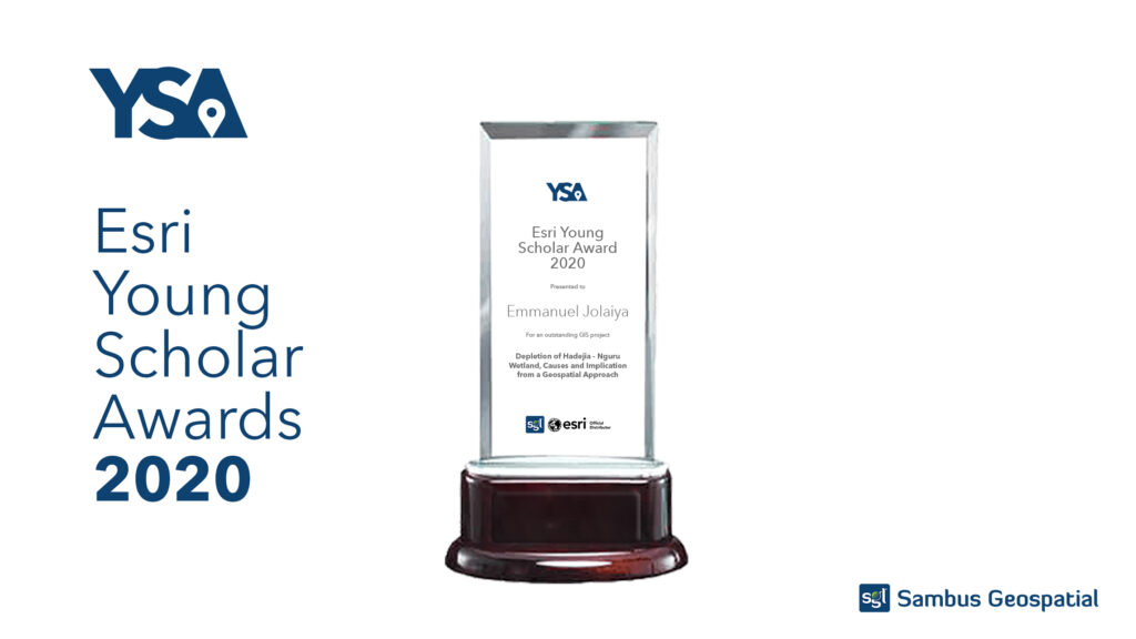
Emmanuel is a final year undergraduate student of Remote Sensing and GIS from the Federal University of Technology Akure, Nigeria. He emerged as the country (Nigeria) winner of the Esri student’s competition which is contested every year and in other countries all over the world. Part of his award includes a paid internship with Sambus Nigeria and a free ArcGIS personal license.