Overview Survey123 for ArcGIS is a simple form-centric field data gathering solution used in the humanitarian sector that makes creating, […]
Currently browsing: Sambus Articles
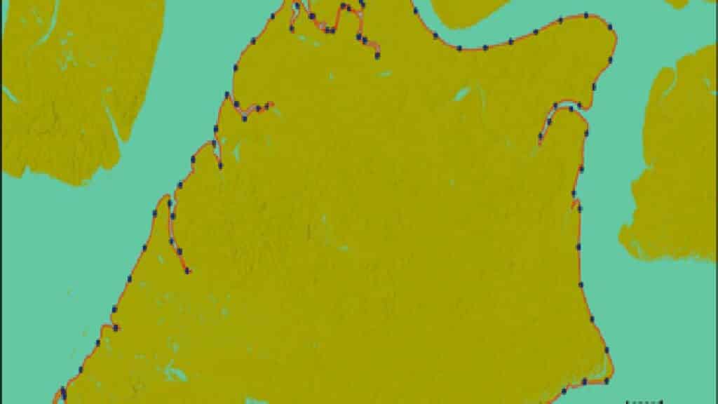
Automatic Shoreline Delineation Using Geospatial technology
Case Study of Bonny Island Delineation of Shoreline is a fundamental task practised in different fields for developing setback planning, […]
Monitoring Akure Forest Reserve Change Over Time
This project aims to analyse vegetation’s spectral reflectance changes in the Akure forest reserve over time using the LandTrendr tool […]
Streamlining Future Projects with Construction Drones
Drones! You’ve heard about them and seen them all over the place. Drones provide endless possibilities and applications, whether flying […]
Integrating Artificial Intelligence (AI) into GIS Technologies
In recent years, artificial intelligence (AI) has advanced rapidly, equal or even surpassing human accuracy in tasks such as image […]
GIS Workflows Trend: Python in ArcGIS Pro
Python has become an essential programming language for geospatial analysis because it has become adopted by major GIS platforms. Increasingly, […]
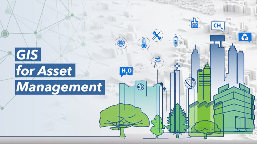
Using GIS for Asset Management
Geographic Information Systems (GIS) have greatly become beneficial as an underpinning and qualifying technology within most sectors and especially within […]
GIS for Safety and Security
The world is advancing rapidly. The population is springing up, technological metamorphosis is gaining strength and so are episodes of […]
Building an Intelligent Water Management System with GIS
The water industry supply drinking water, wastewater (Sewage) treatment to other industries, residents and the commercial sectors. As well as […]
The Nigeria GeoPortal
The Nigeria GeoPortal is a one-stop-shop for open geospatial datasets in the Nation which avails you the opportunity to access […]
Categories
BLOGS
- How Ghana’s Water Utility Digitally Transformed Water Service Applications with Geospatial Technology
- Drakenstein Municipality in South Africa Expands GIS to Improve Public Services
- Introducing ArcGIS Updated User Types
- What’s New in ArcGIS StoryMaps on ArcGIS Enterprise 11.3
- What’s New in the ArcGIS StoryMaps Briefings App (April 2024)
- ArcGIS Pro 3.3 adopts .NET 8 and WebView2 runtime.
