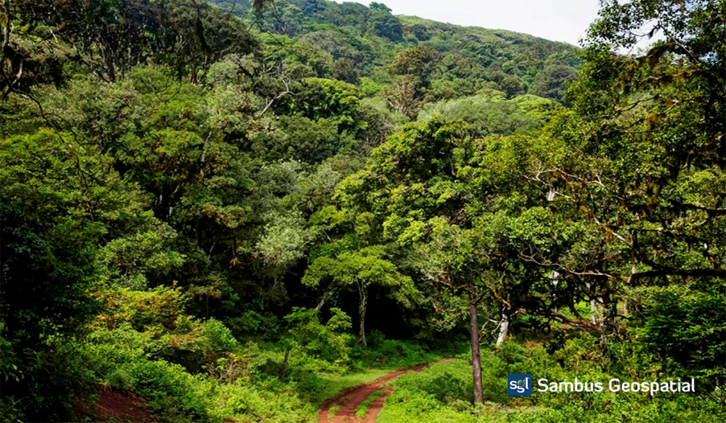
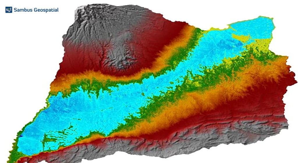
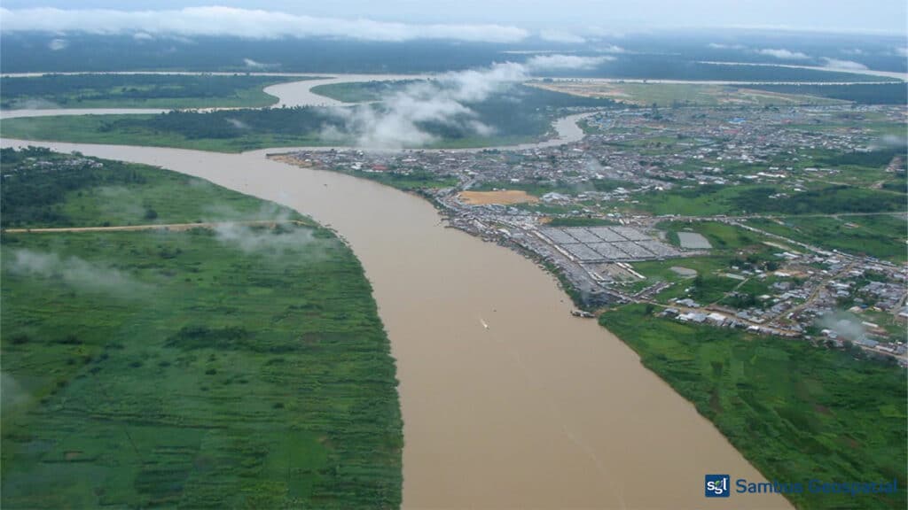
This project aims to analyse vegetation’s spectral reflectance changes in the Akure forest reserve over time using the LandTrendr tool […]
Currently browsing: Local Projects
Flood Inundation Modelling
Background: A flood occurs when water overflows and submerges onto usually dry land. Flooding is often thought of as a […]
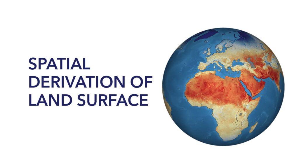
Spatial Derivation of Land Surface Temperature
Land surface temperature is the degree of hotness the “surface” of the earth would feel to the touch in a […]
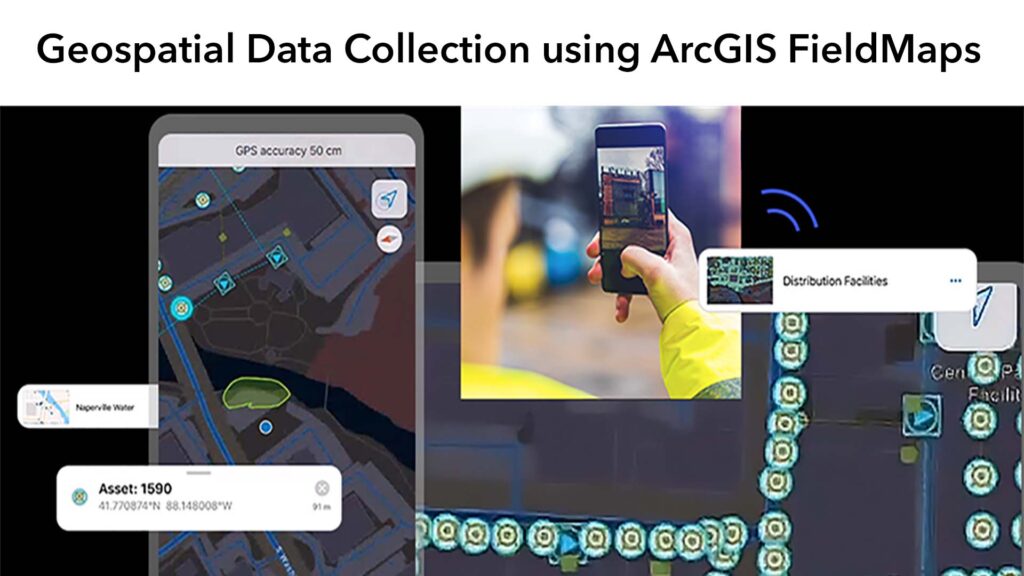
Geospatial Data Collection using ArcGIS FieldMaps
GEOSPATIAL DATA CREATION The traditional methods of generating spatial data in on the field have been restricted, but recent technological […]
Biodiversity Research on Mapping of Birds
Spatial Mapping of Birds in Avu LGA of Imo state Birds are visible and one of the common animals with […]
Spatial Analysis (NDVI) of Basin in AMAC, Abuja Nigeria
The Normalized Difference Vegetation Index (NDVI) analysis, is critical for managing urban greening and the thermal environment. The biophysical components […]
Hospital Mapping: Healthcare Accessibility
In this research, we mapped out health facilities in the Bwari Area council of the Federal Capital Territory. We gathered […]
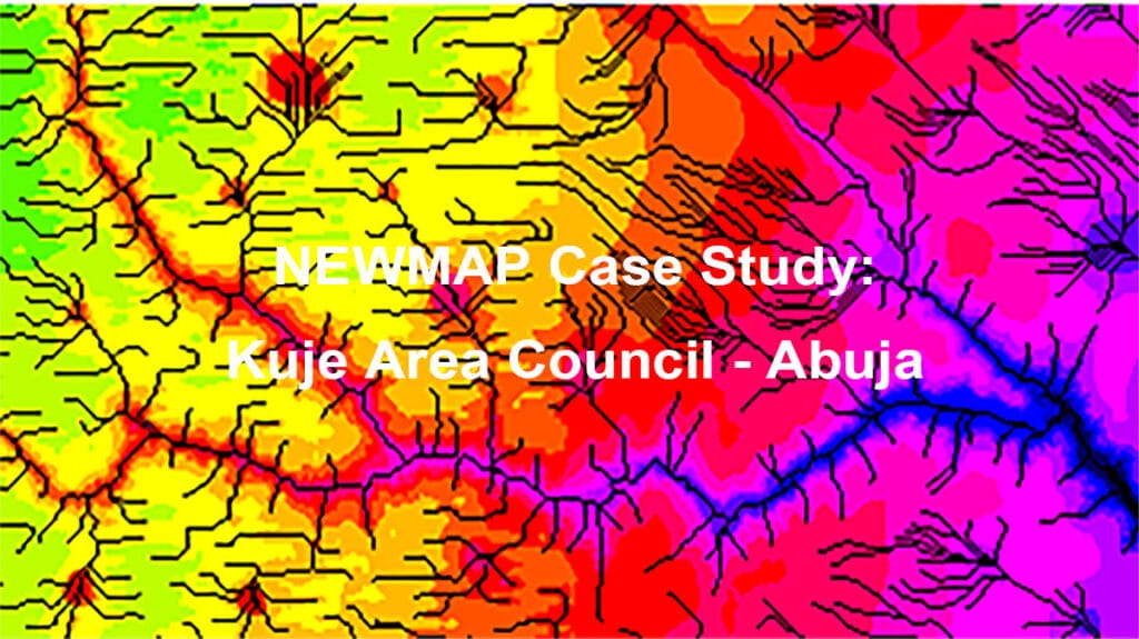
Case Study of Kuje Area Council (NEWMAP)
Nigeria Erosion and Watershed Management Project (NEWMAP) aims to mitigate adverse effects of soil and land degradation in the targeted […]
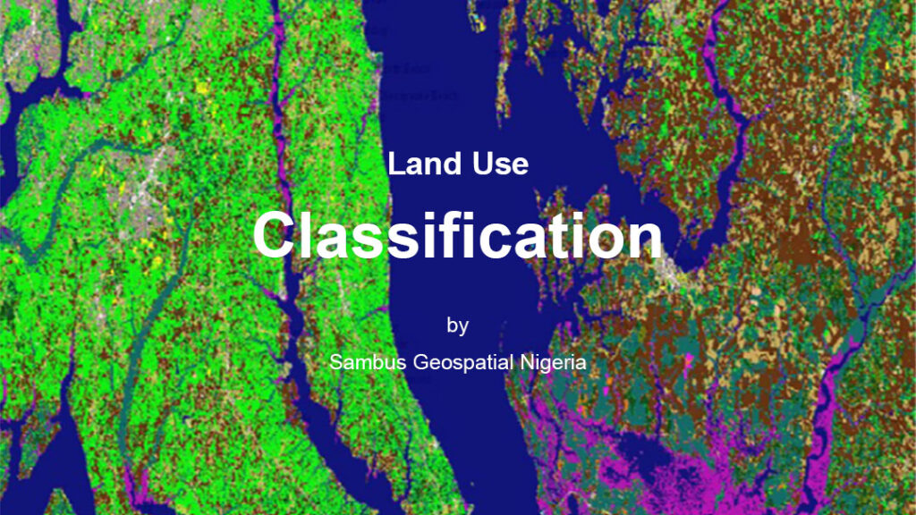
Spatial Analysis of Land Use land Cover of Etsako West LGA of Edo State Nigeria
Through a process called image classification, remote sensing is one of the most important tools for the production of land use […]
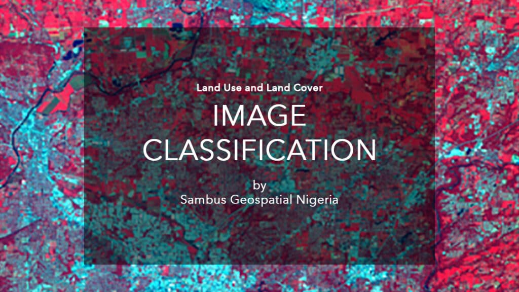
Explaining Image Classification in Land Use & Land Cover Studies
Image classification in remote sensing is an essential tool to produce land use and land cover maps. For an image […]
Categories
BLOGS
- How Ghana’s Water Utility Digitally Transformed Water Service Applications with Geospatial Technology
- Drakenstein Municipality in South Africa Expands GIS to Improve Public Services
- Introducing ArcGIS Updated User Types
- What’s New in ArcGIS StoryMaps on ArcGIS Enterprise 11.3
- What’s New in the ArcGIS StoryMaps Briefings App (April 2024)
- ArcGIS Pro 3.3 adopts .NET 8 and WebView2 runtime.
