See GIS projects designed by Sambus Geospatial to expand your intellect on GIS application within the local community. With ArcGIS Pro connected to various extensions to enhance the user setting as well as ArcGIS Online among other relevant products, specific inhouse works have been done to serve as the basis for students and professions, cutting across all industries. Find your niche and use our workspace as a reference to develop your ultimate geo-experience.
Discovery Projects
Check out our curated internal projects on various industry-based GIS projects

ArcGIS Maritime and ArcGIS Bathymetry Demonstration
This workflow is to demonstrate how ArcGIS Pro, Arcgis Maritime, and ArcGIS Bathymetry can be used in designing and creating an Electronic Nautical Chart (ENC) (S-57). The workflow includes some […]
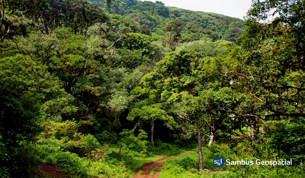
Monitoring Akure Forest Reserve Change Over Time
This project aims to analyse vegetation’s spectral reflectance changes in the Akure forest reserve over time using the LandTrendr tool in ArcGIS Pro. Change Detection Analysis encompasses a broad range […]
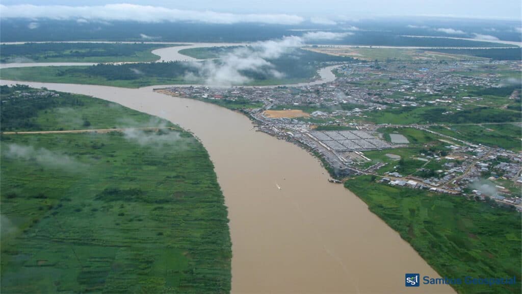
Flood Inundation Modelling
Background: A flood occurs when water overflows and submerges onto usually dry land. Flooding is often thought of as a result of meteorological events such as heavy rainfall. However, floods […]
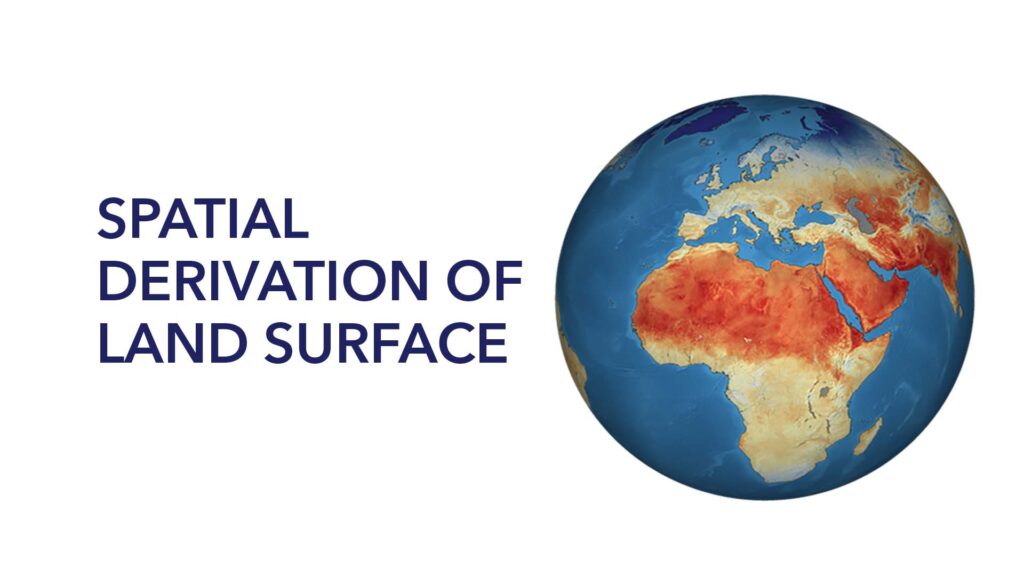
Spatial Derivation of Land Surface Temperature
Land surface temperature is the degree of hotness the “surface” of the earth would feel to the touch in a particular location. From a satellite’s point of view, the “surface” […]
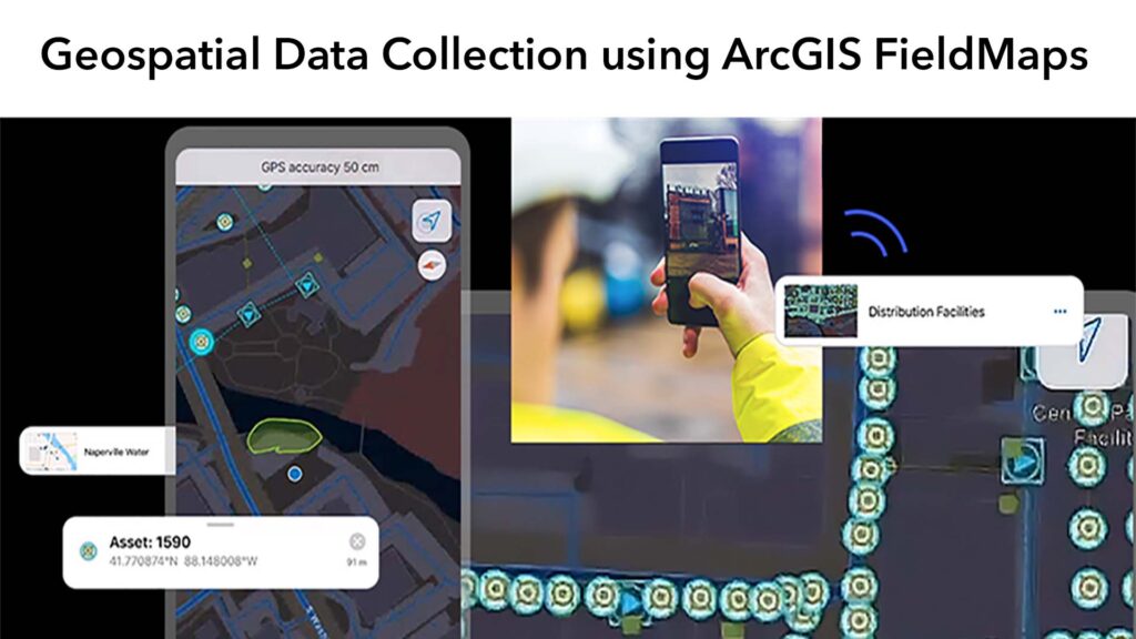
Geospatial Data Collection using ArcGIS FieldMaps
GEOSPATIAL DATA CREATION The traditional methods of generating spatial data in on the field have been restricted, but recent technological advancements have broadened the range of options for generating spatial […]

Biodiversity Research on Mapping of Birds
Spatial Mapping of Birds in Avu LGA of Imo state Birds are visible and one of the common animals with many species that have direct and indirect economic and cultural […]
Spatial Analysis (NDVI) of Basin in AMAC, Abuja Nigeria
The Normalized Difference Vegetation Index (NDVI) analysis, is critical for managing urban greening and the thermal environment. The biophysical components of the environment are constantly changing daily due to vegetal […]

Hospital Mapping: Healthcare Accessibility
In this research, we mapped out health facilities in the Bwari Area council of the Federal Capital Territory. We gathered spatial information of the Hospital and mapped the distances. Also, […]
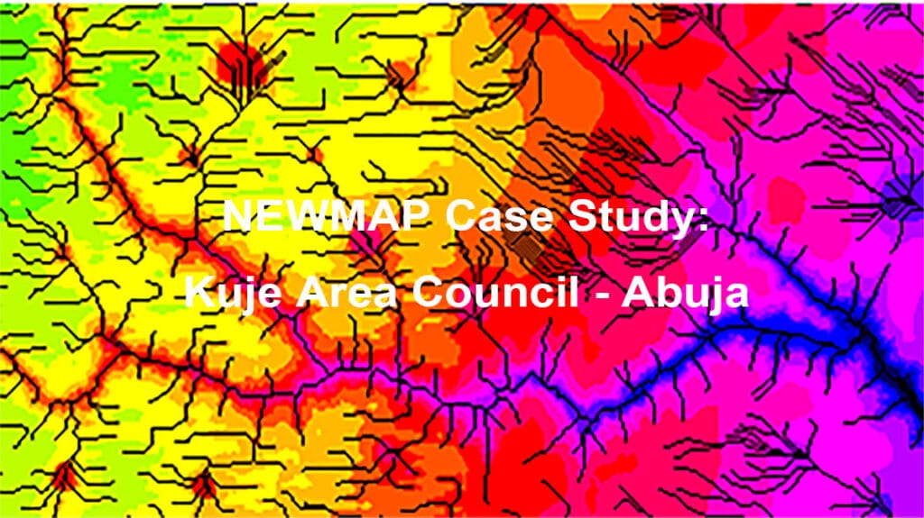
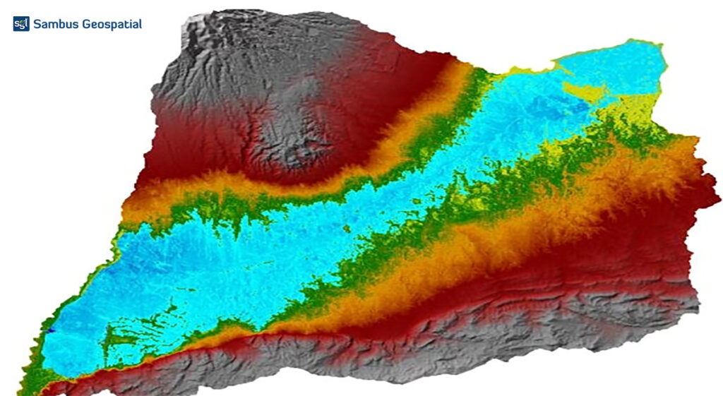
Case Study of Kuje Area Council (NEWMAP)
Nigeria Erosion and Watershed Management Project (NEWMAP) aims to mitigate adverse effects of soil and land degradation in the targeted watershed for environmental sustainability in the country. The project aims […]
Stay informed in our community today!
Stay informed
with the ArcGIS Pro
community
Please share your information and our sales
team will contact you soon. We look forward
to communicating with you.
Error: Contact form not found.