Monitoring Akure Forest Reserve Change Over Time
This project aims to analyse vegetation’s spectral reflectance changes in the Akure forest reserve over time using the LandTrendr tool in ArcGIS Pro. Change Detection Analysis encompasses a broad range of methods used to identify, describe, and quantify differences between images of the same scene at different times or under different conditions.
Study Area
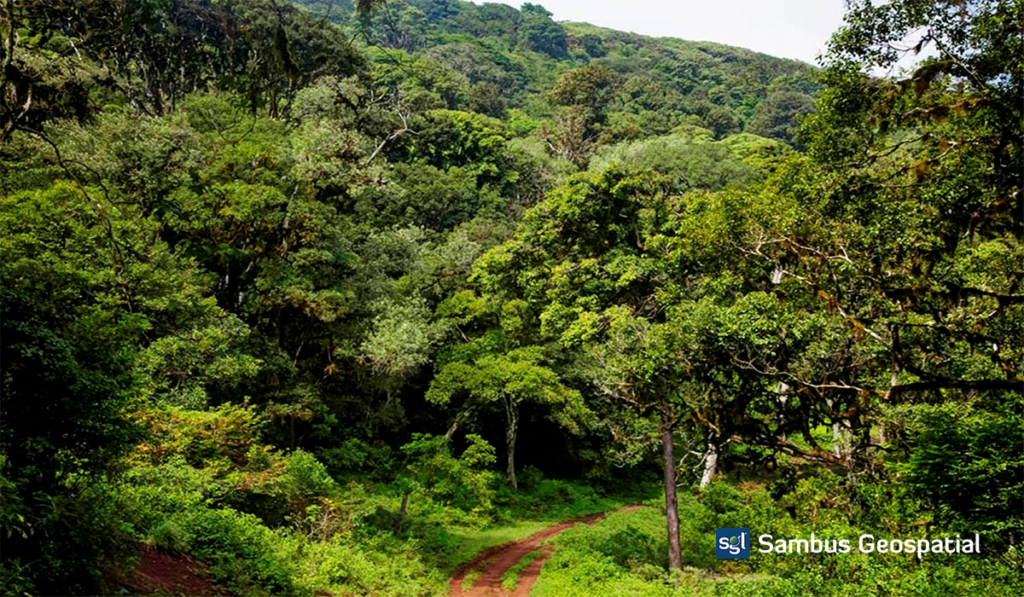
Akure Forest Reserve is a protected area in southwest Nigeria, covering 66sqkm (approximately 25 sq mi). Akure Forest reserve is a forested area set aside for preservation or controlled use and located at Ile Oluji/Okeigbo, Ondo, Nigeria, with a Latitude of 7° 17′ 39″ N and Longitude of 5° 2′ 3″ E.
Data Source
| Data | Source | Year | Resolution | Type |
| Akure Forest reserve Boundary | WDPA (Living Atlas) | – | – | Polygon |
| Landsat 8 | USGS Explorer | 2021,2015 | 30m | Imagery |
| Landsat 7 | USGS Explorer | 2000 | 30m | Imagery |
A multidimensional Raster was created using the mosaic dataset of Landsat Images and generated a cloud raster format to aid further temporal analysis using the different multidimensional tools available within ArcGIS Pro.
The Normalized Vegetation Index (NDVI) was generated from the Landsat Images to ascertain the spectral reflectance of the vegetation and non-vegetation features.
The Animation below Illustrates the changes in the NDVI over time.

This animation was generated directly from ArcGIS Pro Desktop
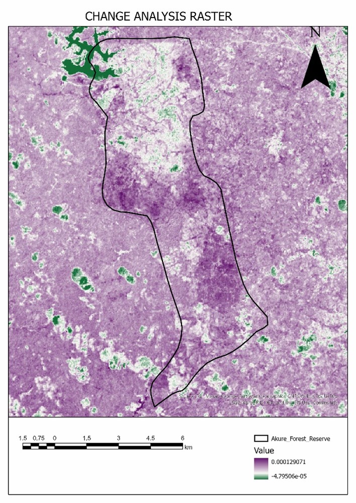
From the NDVI, a change analysis raster was generated using the LandTrendr tool available within the ArcGIS pro.
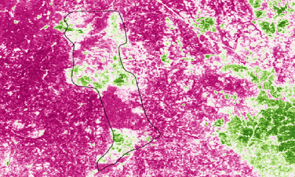
Also, The Normalized Burn Ratio (NBR) index, which is often used to detect forest burn scars, is generally good for distinguishing a healthy forest from forest disturbances.
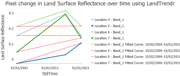
Pixel Change in NBR for four different point locations over the years.
From this analysis, we can observe that the forest recovered from 2000 to 2015, but changes in 2021 from 2015 depict that there have been a series of activities which can be attributed to illegal logging.
Further analysis can be carried out extensively by the National Environmental Standards and Regulations Enforcement Agency for the other 1,128 forest reserves in Nigeria using these tools available within the ArcGIS Pro Desktop.
Project by Benedict Obinna Mberede.
For more information, send mail to info@sambusgeospatial.com.