As the geospatial industry continues to evolve and play an increasingly vital role in shaping our world, the demand for skilled professionals who can harness the power of geospatial technology […]
All posts tagged: ArcGIS Pro
ArcGIS Pro 3.3 adopts .NET 8 and WebView2 runtime.
ArcGIS Pro 3.3 is a minor release set to be available this month; May 2024. It has many new features and is compatible with ArcGIS Pro 3.x versions. To be […]
Automatic Shoreline Delineation Using Geospatial technology
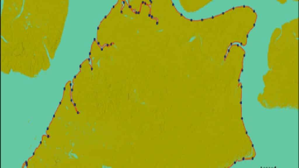
Case Study of Bonny Island Delineation of Shoreline is a fundamental task practised in different fields for developing setback planning, erosion-accretion studies, hazard zoning, boundary monitoring and predictive modelling of […]
Monitoring Akure Forest Reserve Change Over Time

This project aims to analyse vegetation’s spectral reflectance changes in the Akure forest reserve over time using the LandTrendr tool in ArcGIS Pro. Change Detection Analysis encompasses a broad range […]
GIS Workflows Trend: Python in ArcGIS Pro

Python has become an essential programming language for geospatial analysis because it has become adopted by major GIS platforms. Increasingly, users have also seen its potential for data analysis and […]
Spatial Derivation of Land Surface Temperature
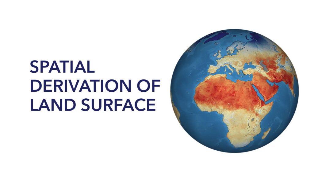
Land surface temperature is the degree of hotness the “surface” of the earth would feel to the touch in a particular location. From a satellite’s point of view, the “surface” […]