Hospital Mapping: Healthcare Accessibility

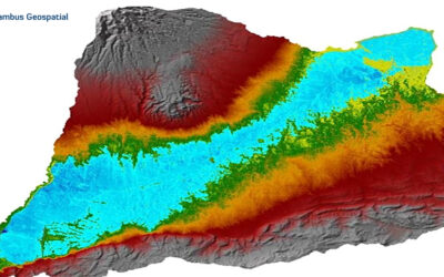
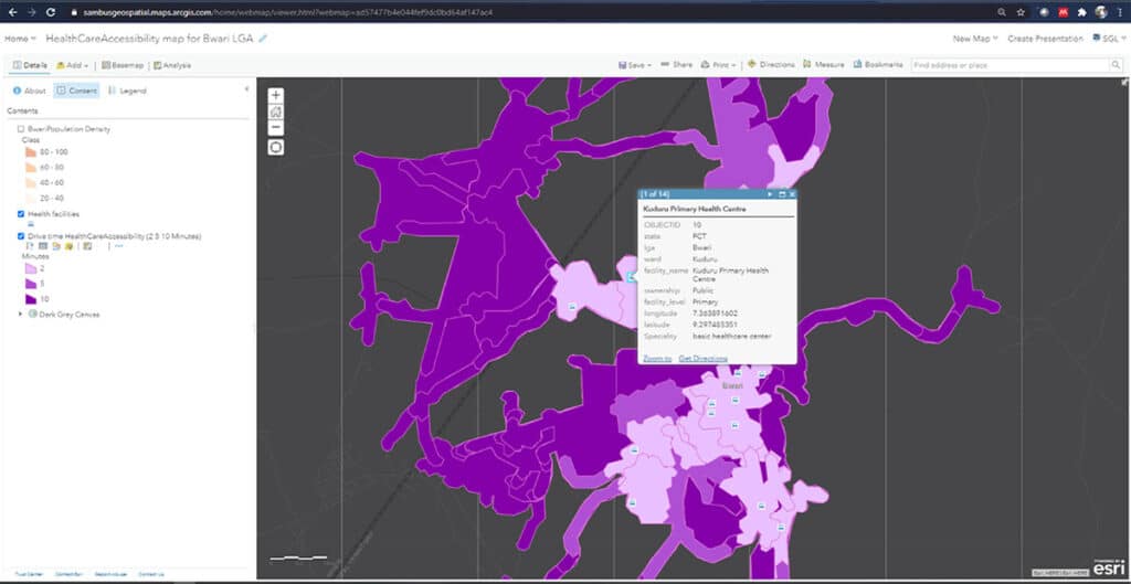
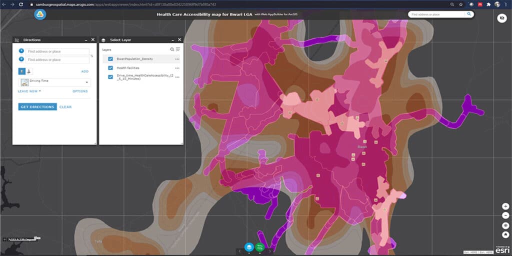
In this research, we mapped out health facilities in the Bwari Area council of the Federal Capital Territory. We gathered spatial information of the Hospital and mapped the distances. Also, we carried out a buffer analysis to ascertain the population cover as against the distance (drive time) and location of the Healthcare Centres.
According to World Health Organization- WHO, physical accessibility “is understood as the availability of good health services within reasonable reach of those who need them and of opening hours, appointment systems and other aspects of service organization and delivery that allow people to obtain the services when they need them”.- Universal health coverage and universal access, Bulletin of the World Health Organization 2013; 91:546–546A.
As defined in the human rights context, it resolves that “Health facilities, goods and services must be within safe physical reach for all sections of the population, especially vulnerable or marginalized groups, such as ethnic minorities and indigenous populations, women, children, adolescents, older persons, persons with disabilities and persons with HIV/AIDS, including in rural areas”. To learn more, read the WHO, 25 Questions and Answers on Human Rights.
Project by Sambus Geospatial Nigeria Limited.
For more information contact Quadri Adebayo – qadebayo@sambusgeospatial.com
SOFTWARE: ArcGIS Desktop 10.8, ArcGIS Online, WebApp Builder for ArcGIS
DATA SOURCES: National Population Commission, OSGOV: Boundary data and GRID3