GIS for Safety and Security
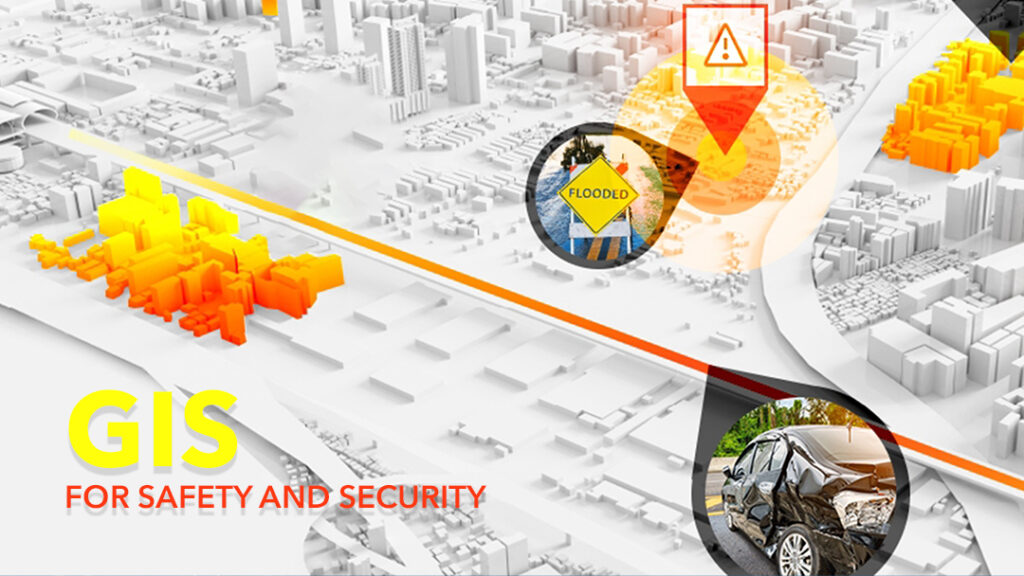
The world is advancing rapidly. The population is springing up, technological metamorphosis is gaining strength and so are episodes of dangers and perils. In an era where we live every realm of our lives with technology, it is best to make use of it to ensure shielded days and nights with lesser incidents of dangers. With Geographical Information System (GIS) making us aim greater, construct better, travel better, analyze better; There is a need to outreach its convenience to guaranteeing higher safety and security as well.
Location intelligence as well as data insights and danger management analytics are utilized in reducing disaster risks and also helps in taking the right action. Visualization and analytic tools in GIS are used to get information from open data sources to help one discover risks in their safety and security system for better emergency control or to notify the public. Geographical information system (GIS) enables mapping software for search and rescue operations and helps to valuate theoretic spread and damage made or to plan ahead. Community disruptions caused by civil disturbances can even be discovered in advance with the use of GIS software which provides geospatial insights related to other data sources for a better apperception of social interaction hazards. This allows to immediately develop countermeasures to mass disorder acts.
The GIS platform combined with all the information different factions are conveying into the system, you can receive very specific views and take thorough measures when managing risks anywhere you find yourself. It also provides situational awareness for all users, and to first responders if they must intervene during an emergency.
When it comes to road safety, visualization and geospatial tools can be utilized in order to identify roads prone to danger and focus on safeguard projects.
Geographic information system (GIS) maps makes analyzation and management of crime patterns and special operations easier in the field of police department. Data with interactive maps can even be shared alongside real-time location insight to help make the best decisions when it comes to enforcing the law.
ArcGIS, a software platform with mapping and analytic tools are integrated to provide data and services for a broad diversification of security workflows to strengthen the security enterprise and also informs the state, the public safety agencies, community-based organizations etc. with geospatial data and intelligence since they all form part of the security enterprise. It helps them to better protect infrastructure and resources.
The influence of ArcGIS in relation to how emergencies are being attended to can become massive especially in the fire rescue and emergency medical sector in the sense that it can offer capabilities for applying location analytics to your preparedness, response, and recovery practices. GIS provides all the tools for measuring performance and outcomes with better analysis and visualizations. Since robust, accurate data analysis is needed for effective operations, especially after a response.
These and many more operations that GIS can assist in the management of disaster and risks helps to ensure the wellbeing of individuals and the society as a whole.