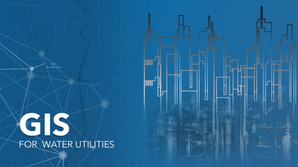
Building an Intelligent Water Management System with GIS
The water industry supply drinking water, wastewater (Sewage) treatment to other industries, residents and the commercial sectors. As well as provide strong industrial and manufacturing capabilities. The industry brings into play a heterogeneity of up-to-date technology of treatment and management tools to enable needed workflows and boost synergy among workers and professionals.
According to the statistics of Worldometer Worldwide (https://www.worldometers.info/water/), domestic use of water consumption account for 10%, industry account for 20% and agriculture accounts for 70% of all water consumption. However, industries consume more than half of the water available for human use. Therefore, the technology available for the purification and treatment for the industrial world is getting effective and very accessible. And with the help of Geographic Information System (GIS), it has made it easier to achieve an organized context required for an intelligent water management system. Since intelligent water management system begins with GIS.
Most of a utility’s data is linked to a geographic location. Some resources such as pipes, meters, valves, etc. can easily be pinpointed because of the use of GIS. The use of Geographic Information System (GIS) has also help to identify and access the location and water usage models of the individuals. As well as where their team are working and what facilities need servicing. GIS allows users to query and analyze information based on its location and its spatial relationship to other features-often where no other relationship is available.
Many of the challenges water utility face, like leaking pipes, long- term water supply, population growth in urban sectors, rural services, water loss, water quality etc, can be well monitored and well managed by inaugurating a geographical sites to support the industry’s needs, as well as their business needs. Functions are created in the GIS platform which makes it unchallenging to use visualization tools such as ArcGIS which authorizes utilities to execute projects and overcome challenges with a modern data representation with advanced and groundbreaking analytic tools and easy to use maps and apps. ArcGis allow utility with a current spatial platform that generates real business value across the utility enterprise.
The impact of GIS in the industry has been massive such that it has even made it easier for customers and employees. Survey 123, which is a simple and inherent field data gathering solution can also be made use of to allow the digital intake of customer data and to create, share and analyze secure surveys without being hacked to ensure that the data will not be accessed by third parties.
Another tool in the GIS format that help with customer interaction with employees is the Hub site which track consumption and examine data trends and make visible where submissions are coming from as well as acquire understanding or awareness into how quickly it can be responded. With the data received into the dashboard, it allows us to see how much is going on, where an activity is occurring and how best response are effective with the idea of seeing trends and better recognize what several factions or communities desire and how best they can be provided. GIS has stimulated more systematic and efficient water resource management methods, that identify and resolve specific and sophisticated water resource challenges, in order to ensure the stability of water supply sources and also to build an intelligent water management system.