GIS for Agriculture
ROLE OF LOCATION INTELLIGENCE IN ACHIEVING SUSTAINABLE AGRICULTURAL DEVELOPMENT- GIS FOR AGRICULTURE
Agriculture has been the driving force of development and growth of many civilizations and economies. This is often referred to as the science of cultivating plants and rearing of livestock. Over time, industrial agriculture has revolutionized and as part of that change the sector has adopted more efficient and productive methods in cultivation and animal husbandry.
Today, the need for modern technology and its application to provide solutions to agriculture can be attributed to the creation of location intelligence systems which are capable of ensuring that the sustainable development goals are adhered to. Sustainable development expresses the notion on societies being able to handle their needs over a long period of time without having to depend on any other entity or body. However, in terms of contemporary agriculture, sustainability tends to deal with how the industry can leverage on renewable resources and technologies in modern ways to provide the needs of every society over a long period of time.
Governments and related authorities are putting in efforts to ensure that the future generation is not destitute of the resources they would need to live on, as this goal is captured in the aims listed out in the United Nations Sustainable Development Goals (UN-SDGs). The development of agriculture and making it sustainable is not a new program, as it has been captured in the SDGs Goal 2; End hunger, achieve food security and improved nutrition and promote sustainable agriculture. What role then, can modern technological advancements like GIS and its related applications play in achieving a sustainable agricultural development?
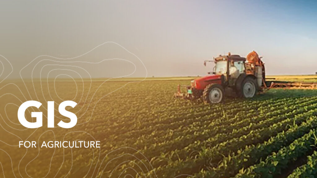
When it comes to GIS for Agriculture, a great example is its application in Land Use and Land Cover. It is terminology used in the agricultural discipline as it evidently illustrates the diverse functions of land areas. In terms of Site Management, G.I.S. can generate maps with data on the topographic nature of the land, soil type and quality among other attributes. This becomes useful for farmers as it aids them in making data driven decisions as to where to site their farms to increase yield, prevent soil erosion, regulate the use of fertilizers on the land and monitor the feeding of farm animals to keep a healthy livestock without destroying or disturbing the surrounding ecosystems.
Furthermore, speaking in terms of data processing, GIS becomes very powerful as location Intelligence systems are capable of developing modules to scan and extract surface features over time and perform special analysis to display trends and changes to deduce the incurring effects on the land. GIS for Agriculture uses algorithms which helps land users in performing specific analysis.
A research was conducted on a Tea plantation in Shizuoka, Japan. In this study, satellite imagery was used in monitoring growth, quality and subsequently the harvesting time of the tea leaves. Using the Normalized Difference Vegetation Index (NDVI) distribution, maps created by the ArcGIS Pro application and it became a cost-efficient solution for the tea farmers as they can monitor and evaluate their produce and boost production as well.
Also, conservation actions implemented by the US. Department of Agriculture and Natural Resources Conservation Service as a sustainable development initiative using location intelligence data. In effect, the soil quality, and nutrients as well as the quantity of soil water and grounder water of the area which used to be a cropland improved in quality.
The implementation of GIS for Agriculture has become sustainable for the development of this sector immensely yet, untapped in many societies especially in developing countries. As Technology continues to evolve, the application of GIS in different aspects of human life changes. Geospatial Solutions are playing a major role in the agricultural sector, creating a more sustainable industry, and aiding in the progressive actions to achieve the goals set for the future generation.
Read more articles by sambus today. Visit https://sambusgeospatial.com/sambus-articles/


