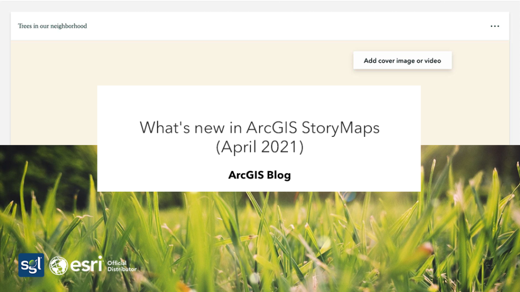
What’s new in ArcGIS Story Maps
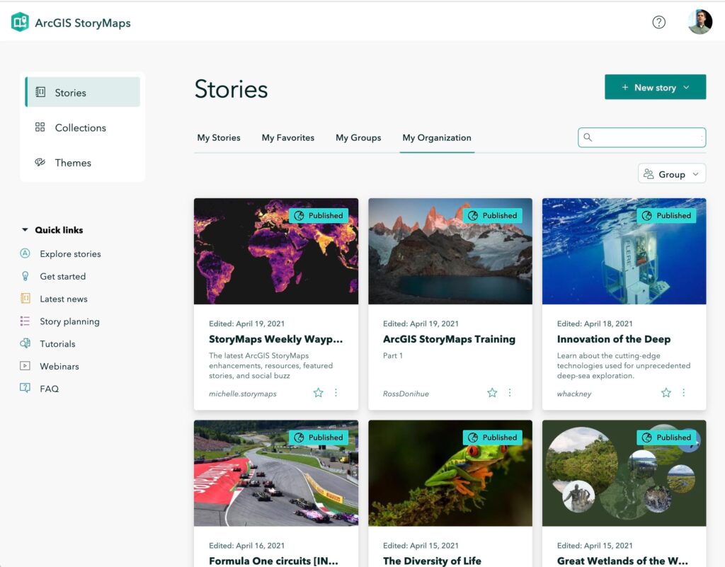
Story maps visualize user stories to create an understandable information. It is developed with features that helps in the exploration of the content to produce an expansive view of the whole user experience. New features are introduced and updated from time to time.
According to O. Evans (2021), there are about five and more new features that has been introduced.
Design refresh and builder updates
Several features of Story Maps have been strengthened and updated to improve the user experience. The navigation between the visual interface pages has been made more notable, and the surfacing has also been refreshed. The builders of the interface have a separate button which makes it easier to differentiate between the builder controls and the published story. Some of the visual interface has been updated to allow more space to show stories and give a better experience by moving the device preview mode buttons to a new floating toolbar.
The video below shows the new updates mentioned.
Theme updates
Themes are now incorporated for users to be able to personalize their story maps, to their personal taste or for a collective organizational purpose.
• Theme a collection
In addition to theming stories, you can now also theme your collections. Open the Design panel in the collection builder and you can select any of the six standard themes, or you can click Browse themes to select one of your custom themes or an approved theme from your organization. The colors, typography, button style, and logo from the selected theme will all be applied to the collection.
• New quote style
New quote designs are now available to choose from now when creating a theme as new styles and alignment options has now been developed where you can align and adjust the quote text and decorations of the styles.
• Map tour zoom level option
It is now simpler to control what readers see on the map as they browse through the map tour. Zoom level can be practiced for any specific map tour place that need one. Also, zoom level can be set for all map tour places. And it also makes it easier to build your tour.
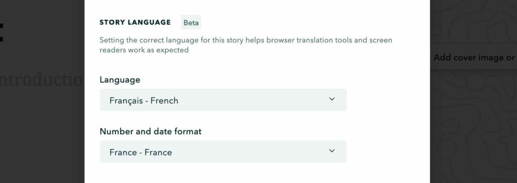
• Story language
A new feature has been developed to enable you to read a story in many languages. Consequentially, since ArcGIS story maps supports almost 40 languages, it will help enhance reading experience and aid you in understanding a story that is written in a language you do not understand. A story sends the language to the web browser, so it translates it into the user’s language. Screen readers can also detect a story’s language and read it in a voice and accent if needed.
Read full story on the newest ArcGIS StoryMaps (2021) updates;
Source: Evans, O. (2021, April). ArcGIS Blog. Retrieved from www.esri.com: https://bit.ly/3eT9VUv