Call Us on : +233(0)302777127 (Accra - Ghana) | +23492922821 (Abuja - Nigeria) | +234(0)9082715613 (Lagos - Nigeria) Email : info@sambusgeospatial.com
Sambus Geospatial | Esri Distributor in West Africa | GIS Company in West Africa
  • Home Page
  • About Us
    • Our history and Identity
    • Our Team
      • Corporate & Advisory Team
      • Sambus Geospatial Ghana
      • Sambus Geospatial Nigeria
    • Projects & Achievements
    • Our Alliances
  • Our Solutions
    • Local Projects
    • Industries
  • Products and Services
    • Esri Products
    • Trimble Products
    • NV5 Products
    • Wingtra
    • Training
    • Consultancy Services
  • Blog
    • Blog
    • Sambus Articles
    • Sambus Geospatial Newsletter
  • Contact Us
    • Frequently Asked Questions
  • Careers
Sambus Geospatial | Esri Distributor in West Africa | GIS Company in West Africa > Blog > Esri

Currently browsing: Esri

ArcGIS Maritime and ArcGIS Bathymetry Demonstration

April 17, 2025 Sambus Geospatial Esri, Local Projects Comments Off on ArcGIS Maritime and ArcGIS Bathymetry Demonstration

This workflow is to demonstrate how ArcGIS Pro, Arcgis Maritime, and ArcGIS Bathymetry can be used in designing and creating an Electronic Nautical Chart (ENC) (S-57). The workflow includes some […]

Read more

Geographic Information System and Election in Nigeria

March 23, 2023 Sambus Geospatial Blog, Esri Comments Off on Geographic Information System and Election in Nigeria

Election in Nigeria In Nigeria, elections are held to choose the president, members of the National Assembly, and lawmakers and governors for each state. State governors and lawmakers are also […]

Read more

GIS DAY 2022 IN NIGERIA AND SAMBUS CONTRIBUTION.

January 12, 2023 Sambus Geospatial Blog, Esri Comments Off on GIS DAY 2022 IN NIGERIA AND SAMBUS CONTRIBUTION.

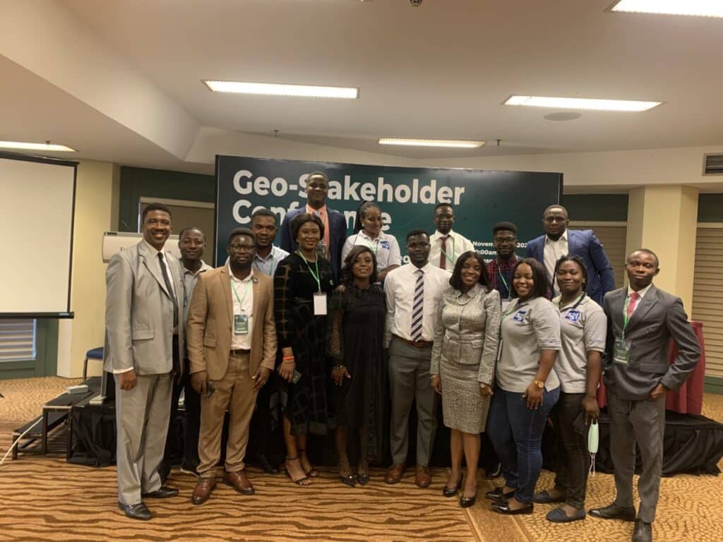
GIS Day is organized yearly 3rd Wednesday of November across the world which Nigeria is not left out. Different sectors registered for the 2022 GIS Day celebration in the nation. […]

Read more

GIS and World Cup 2022

December 22, 2022 Sambus Geospatial Blog, Esri Comments Off on GIS and World Cup 2022

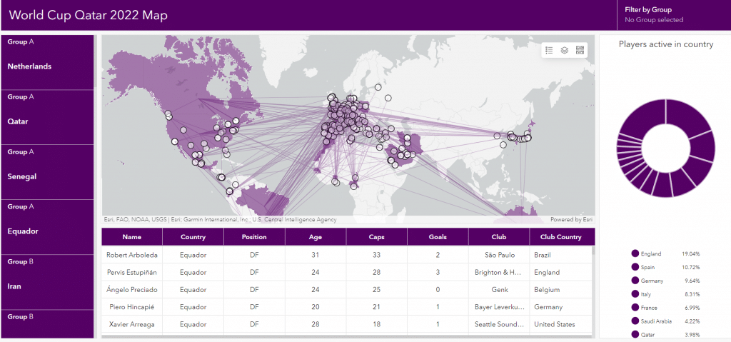
The geographic information system (GIS) is a system that creates, manages, analyzes, and is employed to map world cup data. GIS connects championship data to a map, integrating location data […]

Read more

GIS Moves to the Core of Water Infrastructure Framework

December 19, 2022 Sambus Geospatial Blog, Esri Comments Off on GIS Moves to the Core of Water Infrastructure Framework

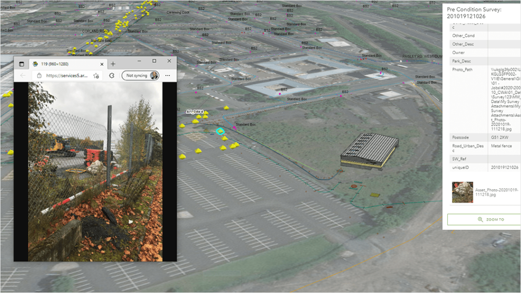
The Caledonia Water Alliance (CWA), formed between AECOM and Morrison Water Services, is supporting the delivery of Scottish Water’s water infrastructure element of its capital investment program. The program’s six-year […]

Read more

Drone Mapping in Mozambique Helps Find Flood Victims, with AI Assistance

December 13, 2022 Sambus Geospatial Blog, Esri Comments Off on Drone Mapping in Mozambique Helps Find Flood Victims, with AI Assistance

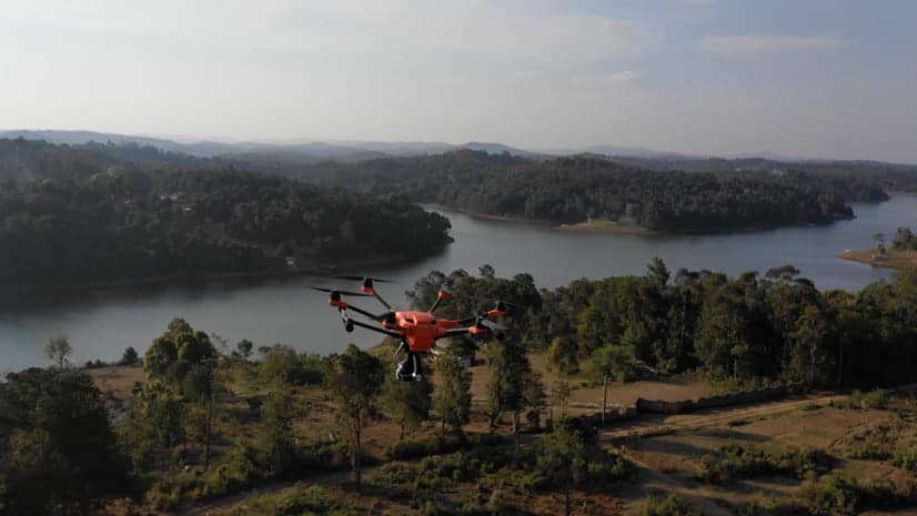
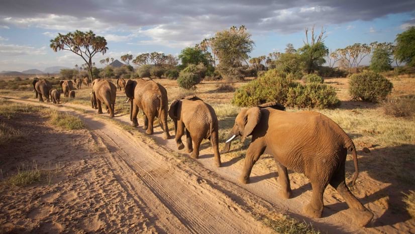
Since its creation 10 years ago, Space for Giants has grown rapidly, from an academic research project looking into the coexistence of people and elephants to successfully developing a conservation toolkit that […]

Read more

Safeguarding Africa’s Protected Areas and Wildlife Using a Holistic Strategy

December 12, 2022 Sambus Geospatial Blog, Esri Comments Off on Safeguarding Africa’s Protected Areas and Wildlife Using a Holistic Strategy

Since its creation 10 years ago, Space for Giants has grown rapidly, from an academic research project looking into the coexistence of people and elephants to successfully developing a conservation toolkit that […]

Read more

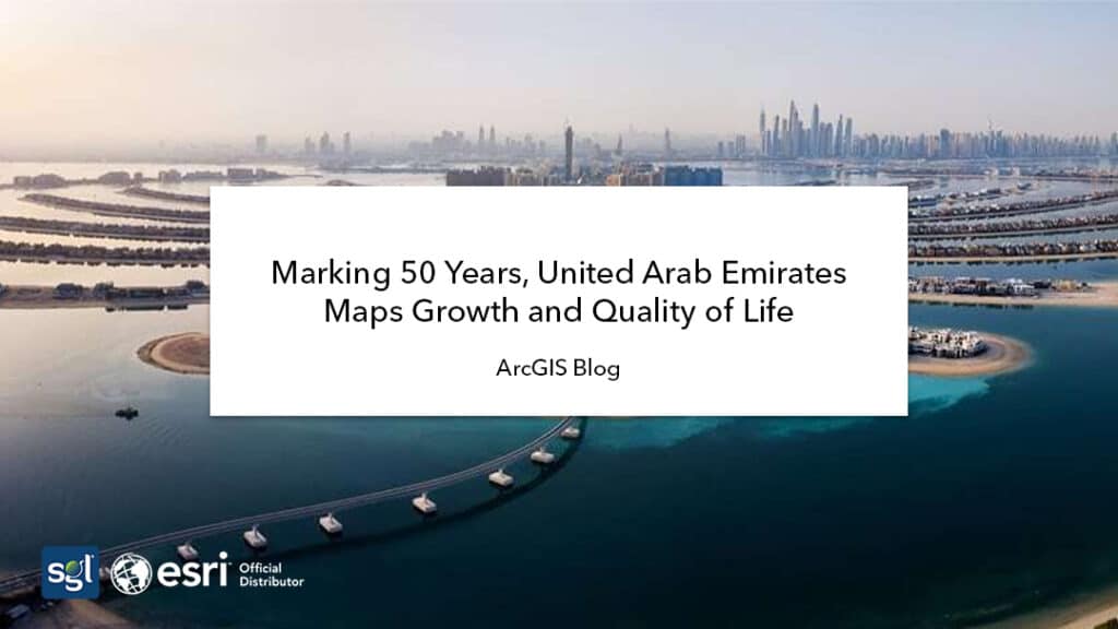
Marking 50 Years, United Arab Emirates Maps Growth and Quality of Life

September 23, 2022 Sambus Geospatial Blog, Esri Comments Off on Marking 50 Years, United Arab Emirates Maps Growth and Quality of Life

The United Arab Emirates has grown remarkably in the last 50 years since it was founded in 1971, particularly in Abu Dhabi and Dubai, where most of the country’s population […]

Read more

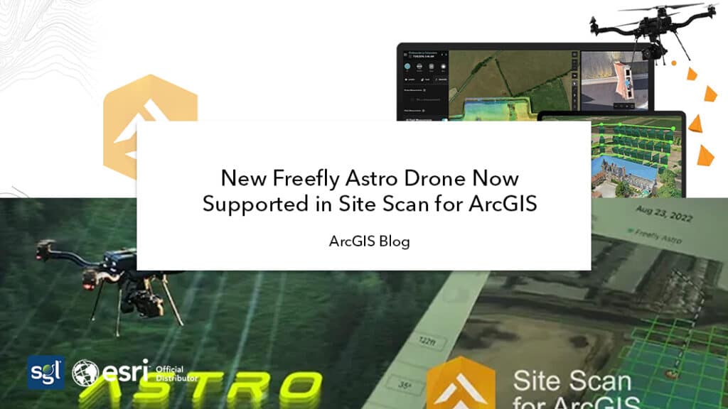
New Freefly Astro Drone Now Supported in Site Scan for ArcGIS

September 22, 2022 Sambus Geospatial Blog, Esri Comments Off on New Freefly Astro Drone Now Supported in Site Scan for ArcGIS

The site scan team has worked closely with Esri Partners: Freefly Systems and Auterion, to support Freefly’s latest drone, called The Astro. Built-in the USA and specifically designed to meet […]

Read more

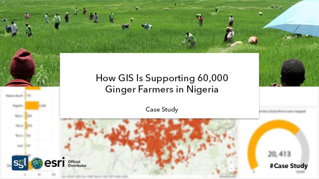
How GIS Is Supporting 60,000 Ginger Farmers in Nigeria

September 13, 2022 Sambus Geospatial Blog, Esri Comments Off on How GIS Is Supporting 60,000 Ginger Farmers in Nigeria

Reacting to the supply chain crisis resulting from the COVID-19 pandemic and wanting to ensure long-term resiliency in Nigeria’s agricultural output, Agrolog Limited, an innovative Nigeria-based agribusiness, partnered with the Mastercard […]

Read more
  • 1
  • 2
  • 3
  • 4
  • Next Page »
Categories
BLOGS
  • How GIS Transformed Nigeria’s Telecom Regulation: The NCC’s Remarkable Journey with ArcGIS 
  • ArcGIS Maritime and ArcGIS Bathymetry Demonstration
  • In Africa, Sustainable Development Hinges on Having Accurate Basemaps
  • Earth Observation to Mitigate Impacts of Climate Change and Support Sustainable Business Decisions
  • Empowering Sustainable Land Management with Drone Technology and Geospatial Analysis
  • From Beginner to Advanced: A Discounted Training Plan for 2025.
  • From Confusion to Competence: 10 Reasons Why People Struggle to Learn GIS.
  • Embracing Innovation: Sambus Geospatial Nigeria Limited’s Transformative GIS Day Celebrations.
  • 2024 ArcGIS Online year in review
  • What’s New in ArcGIS Knowledge 11.4 (2024 Q4)

Sambus Geospatial is an applications development firm that provides a range of geospatial solutions to all industries

COMPANY
  • Home Page
  • About Us
    • Our history and Identity
    • Our Team
      • Corporate & Advisory Team
      • Sambus Geospatial Ghana
      • Sambus Geospatial Nigeria
    • Projects & Achievements
    • Our Alliances
  • Our Solutions
    • Local Projects
    • Industries
  • Products and Services
    • Esri Products
    • Trimble Products
    • NV5 Products
    • Wingtra
    • Training
    • Consultancy Services
  • Blog
    • Blog
    • Sambus Articles
    • Sambus Geospatial Newsletter
  • Contact Us
    • Frequently Asked Questions
  • Careers
OUR TEAM
  • Teams
  • Careers
  • Jobs
PRODUCTS
  • ArcGIS Desktop
  • ArcGIS Online
  • ArcGIS Enterprise
  • Trimble Products
  • NV5 Products
  • Wingtra Drones
NEWS
  • Articles
  • Newsletters
  • CSR Activities
GHANA OFFICE

F702/1 Salem Street, Kuku Hill, Osu

Accra, Ghana

NIGERIA OFFICE

Abuja Office: No. 19 Ebitu Ukiwe Street, Jabi, Abuja – Nigeria.

Lagos Office: Plot 1601 Adeola Hopewell Street, Victoria Island, Lagos – Nigeria.

Sambus Geospatial Services . All right Reserved

Have a project? Let's talk.

Give us a call or leave a message, we endeavour to answer all enquiries within 24 hours on business days.

Call Us on : +233(0)302777127 (Accra - Ghana) | +23492922821 (Abuja - Nigeria) | +234(0)9082715613 (Lagos - Nigeria)

Email : info@sambusgeospatial.com