Drone Mapping in Mozambique Helps Find Flood Victims, with AI Assistance
Since its creation 10 years ago, Space for Giants has grown rapidly, from an academic research project looking into the coexistence of people and elephants to successfully developing a conservation toolkit that is now being delivered across 11 African countries. Space for Giants supports national governments and local residents to manage human-wildlife conflict, promotes wildlife justice and the rule of law, and attracts investments to protect the natural ecosystems on which the continent’s elephants depend.
Securing space for Africa’s giants, as the charity’s name suggests, has been a monumental conservation challenge in today’s changing world—yet there is plenty of reason to be hopeful. Space for Giants’ success rests on its ability to make conservation a valuable industry for the communities surrounding the areas it protects, by improving livelihoods, reinvigorating landscapes, and promoting human-wildlife coexistence. Much of this work is guided by geographic information system (GIS) technology; Space for Giants uses GIS to gather and interpret the data that guides the organization’s interventions.
Space for Giants began in Laikipia County, Northern Kenya, where Dr. Max Graham initially sought to understand how elephants used space in increasingly human-dominated landscapes. “This work involved GIS from day one, to map thousands upon thousands of hourly fixes of elephant positions and human-elephant conflict incident data to understand patterns,” said Maurice Schutgens, managing director of conservation at Space for Giants. “GIS has been key. Without a spatial visualization and understanding of elephant behavior, Space for Giants would never have been able to learn the valuable lessons that now guide our management interventions across 11 African countries.”
Two back-to-back cyclones battered Mozambique in 2019, destroying more than 800,000 hectares of farmland during harvest season. The devastation to crops and livelihoods left nearly two million people facing acute food insecurity.
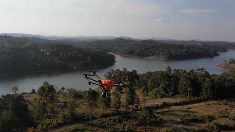
The United Nations (UN) World Food Programme (WFP) responded quickly, with two helicopters to ferry supplies and rescue stranded people. Given flooded roads, the air support was crucial but not nearly enough to distribute food and find stranded people across such a wide area of impact.
“When your primary tool for flying over large bodies of water is a helicopter that costs $2,800 an hour, you need to find a better way,” said Patrick McKay, drone data operations manager for WFP.
Cyclone Idai was the first time WFP coordinated a fleet of drones for disaster response. The timing was right because WFP had conducted drone training with Mozambique’s National Institute for Disaster Management and Risk Reduction (INGD) to build in-country drone pilot capacity. Also, Idai was an unusual storm in that it parked over land, dumped rain for days, and flooded an area spanning thousands of square kilometers.
More Information
Visit Esri Blog to read more.
Source: Olivier Cottray 2022, Esri, accessed 10 November 2022, <Esri Blog>