Earth observation (EO) data is becoming increasingly important for monitoring and assessing the world we live in as typical data collection methods can often be costly and inaccessible. EO data […]
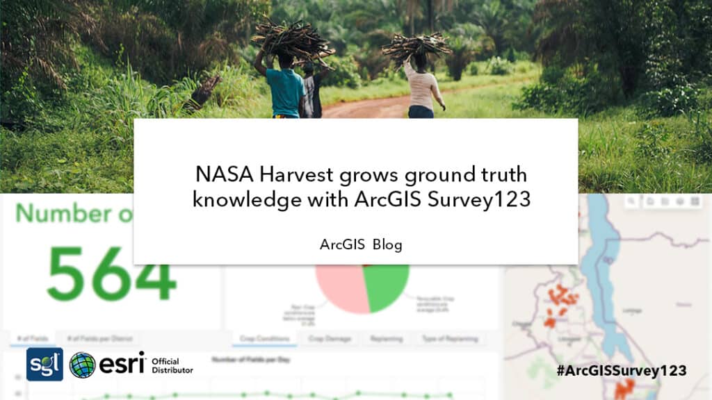
NASA Harvest grows ground truth knowledge with ArcGIS Survey123