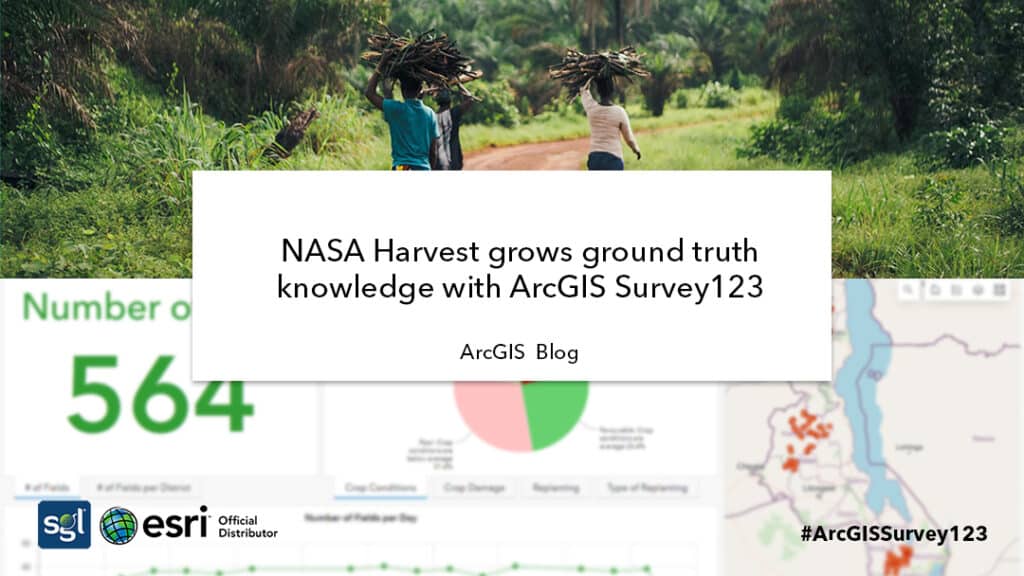
NASA Harvest grows ground truth knowledge with ArcGIS Survey123
Earth observation (EO) data is becoming increasingly important for monitoring and assessing the world we live in as typical data collection methods can often be costly and inaccessible. EO data is obtained remotely from satellites orbiting our home planet, and can be used to improve decision-making across a wide array of sectors. Agriculture is one of the key industries that benefits most from EO data.
The frequent, repeatable, and transparent information provided by satellites can inform agricultural assessments and identify potential food security impacts. With the help of EO-based information (such as crop and soil health), experts can better forecast potential food shortages. With this information available early on, decision makers can then ensure humanitarian aid reaches the populations most affected by environmental and climate shocks.
Satellite information can be tremendously beneficial for our communities and livelihoods, and putting this information into the hands of farmers, policy makers, and economists can have profound impacts on global food security.
One of the groups leading the charge is NASA Harvest, NASA’s global food security and agriculture program, dedicated to advancing the uptake of satellite Earth observations by public and private organizations to benefit food security, agriculture, and human and environmental resiliency in the US and worldwide. A critical step to increasing the use of EO data is to first increase end users’ trust in these products. To build this trust, satellite-based products and models need to be validated and their accuracy tested. A key piece of this effort is the collection of ground truth data to validate the satellite based products. However, there is currently a notable lack of necessary ground data, and most notably across less-developed countries.
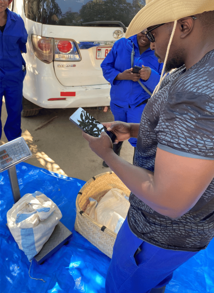
To address this data gap, NASA Harvest, in partnership with the United Nations Food and Agriculture Organization (UN FAO) Global Information and Early Warning Systems Network, tested methods for the collection of critical ground data for the development of cropland and croptype maps across pilot countries in sub-Saharan Africa. They used ArcGIS Survey123 to pilot an easier and more accurate way of obtaining ground truth data sets, covering cropland and croptype mapping needs and contributing to yield forecast estimation for complex smallholder agricultural lands. With more ground data available, NASA Harvest can now validate its EO-based products and models to provide more reliable early warning systems to support food security decisions.
More Information on What is coming up in Survey 123.
Visit Esriblog to read the full details.
Source: Jacqui Newell 2022, Esri, accessed 10 June, 2022.