Geographic Information System and Election in Nigeria
Election in Nigeria
In Nigeria, elections are held to choose the president, members of the National Assembly, and lawmakers and governors for each state. State governors and lawmakers are also chosen for four-year terms, as are the President and members of the National Assembly. Election planning and execution in Nigeria are the responsibility of the Independent National Electoral Commission (INEC).
Controversies and accusations of vote tampering, intimidation, and violence have tainted elections in Nigeria. Election reform has been demanded to guarantee free and fair elections. International observers are frequently called to observe Nigerian elections to make sure they’re held in a free, fair, and transparent manner.
Nigeria’s next general election is slated for 2023, where the president and members of the National Assembly will be elected.
What are the Applications of GIS to Election?
Geographic Information Systems (GIS) can be applied in various ways to improve the efficiency and transparency of elections in Nigeria. Some potential applications include:
- Voter registration and mapping: Voter registration locations can be digitally mapped using GIS, making it simpler for voters to locate their voting places. GIS can also be used to confirm voter registration information, including voter addresses and constituency information.
- Election security and monitoring: GIS is a useful tool for keeping track of voter turnout and spotting any instances of voter fraud or intimidation that might occur. To do this, GIS may be used to digitize polling place maps and monitor the movement of election observers, security staff, and other stakeholders.
- Redistricting and boundary delimitation: GIS can be used to create digital maps of electoral districts, which can be used to ensure that they are evenly populated and that voting districts are geographically compact.
- Redistricting and boundary delineation: GIS can be used to produce digital maps of electoral districts, which can be used to make sure that voting districts are compact geographically and have an even distribution of population.
- Voter education and civic engagement: GIS can be used to create digital maps that can be used to educate voters about the electoral process and their rights as citizens. This can be done by making interactive maps that display the locations of polling places, electoral district boundaries, and voter registration sites.
Overall, GIS can play a vital role in increasing the transparency and efficiency of the electoral process in Nigeria, by providing real-time data, mapping and visualization tools that can be used to ensure free, fair and transparent elections.
What are the ArcGIS products types that can be employed to election in Nigeria?
A number of electoral processes can be supported by the ArcGIS product suite, which was created by Esri, a well-known provider of GIS software and services. The following are a few of the various ArcGIS tools and solutions that can be used for managing and monitoring elections:
- ArcGIS Online: A platform on the cloud that enables the creation, sharing, and usage of maps and other geographic data It can be used to make digital maps of polling places, electoral districts, and voter registration sites.

- ArcGIS Collector: A smartphone or tablet app that enables users to input and update geographic data Election observers can use it to capture observations and immediately report any possible problems at voting places.

- ArcGIS Survey123, a mobile data collection tool that may be used to gather and update voter registration data, including names, addresses, and voter ID numbers

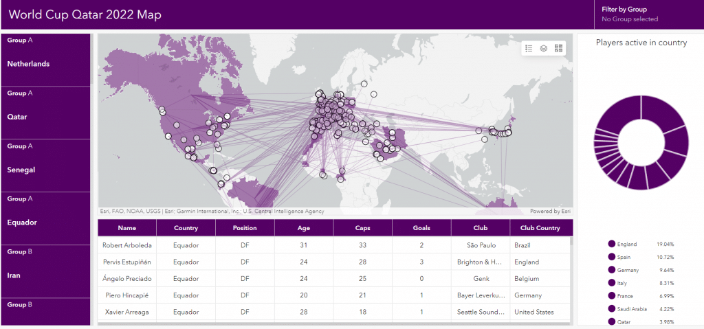
- ArcGIS Dashboards: A web-based tool for building interactive dashboards that show election results in a clear and simple manner.

- ArcGIS Pro: This robust desktop GIS program may be used to produce intricate maps and carry out sophisticated spatial analyses. It can be used to simulate various political situations, assess voter demographics, and build digital maps of electoral districts.

Overall, ArcGIS products may offer a set of tools to support all facets of the electoral process, from voter registration and mapping to election monitoring, results administration and reporting, and voter education. Real-time data and visualization can be provided, enabling better decision-making and realistic portrayal of the political process.

