New Freefly Astro Drone Now Supported in Site Scan for ArcGIS
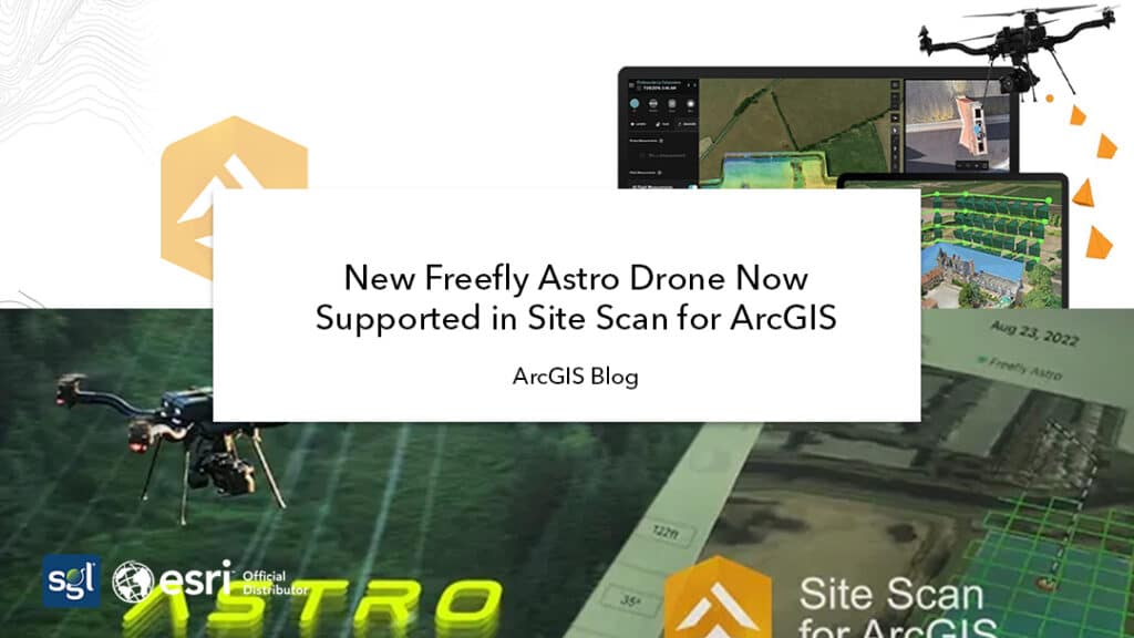
The site scan team has worked closely with Esri Partners: Freefly Systems and Auterion, to support Freefly’s latest drone, called The Astro. Built-in the USA and specifically designed to meet your mapping needs, the Astro can be flown using Site Scan Flight. The data captured can be processed in Site Scan Manager to produce amazing results to share inside or outside your organization.
FCSC introduced GIS to streamline workflows and visualize the statistical indicators it collects for sectors such as health, education, environment, and economy. GIS data feeds 1Map, which is not a map but the country’s mapping power, with a collection of map layers such as roads, facilities, and demographics of people. The information allows residents to see how the UAE is faring and each ministry to see its strengths and weaknesses so that investments can be made in the right places to improve the quality of life for the residents.
More Information
Visit Esri Blog to for more details.
Source: Reanne Barrette 2022, Esri , accessed 22 September 2022, <Blog>