ArcGIS Field Map Speeds and Simplifies Mobile Work
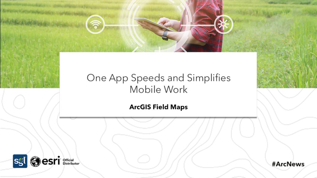
ArcGIS Field Maps, which is a new mobile app provide workers with a single app that can execute a lot of difficult field activities, even in secluded areas where the internet connection is poor. Field workers get to have a secure and uninterrupted means of entry to an institution’s recent information through mobile devices with the use of ArcGIS Field Maps.
According to Esri, paper maps that are being employed by workers in countless organizations like the government, public safety, health care etc., are being replaced by field maps and can also be structured to meet the individual needs of the industries and its workers since the operations of some ArcGIS suites have been integrated by ArcGIS Field Maps into a single app. Hence, it makes work easier and faster for workers.
All maps and data required for all works are being made accessible once mobile workers sign in. And mobile workers only need to study one app for their works once an organization deploys one app.
Maps are accessible to non-organizational workers to take advantage of the data required to accomplish task while sustaining the safety of the organization’s system. And field maps also supports HTTPS for data encryption.
ArcGIS Field Maps gets rid of copying of offline content to furnish multiple field apps by consolidating data collection, worker tracking activity, map viewing and forms editing into one app. And field maps conserves storage on mobile devices since maps are downloaded once.
Workers in the office are briefed on information that was shared on the field in ArcGIS for results to be finalized based on accurate and current updates. Working with staff in the field is not difficult with peer-to-peer email. And working from the same up-to-date data concurrently saves time and generally improves the competency of the field staff.
Resources can be added by using the feature template, speeding the accumulation process. The snapping and editing features are supported at the same time by the app. The quality of the organization’s data are boosted and maintained by updated because ArcGIS Field Maps give accurate positioning of area, point and line features using external GPS.
The location of mobile workers are tracked so managers know where they are and rapidly alter to circumstances since the app has tracking proficiency. All tracks can be viewed on the map and different time frames can be selected. The device information, accuracy speed and location can all be displayed for each track.
For tracking potentials to be accessed, the location tracking must be allowed for the manager and an add-on ArcGIS Tracker license assigned to each ArcGIS account that will be tracked. Tracking helps you now whom work assigned to, and where and when the work was assigned to.
ArcGIS Field Maps saves time, saves storage, support field workflows and overall boost the productivity of workers by introducing workflows digitally to field activities. Everyone can also see the work from the same data at the same time.
ArcGIS Field Maps is available for download from the Apple App Store and Google Play. As stated by Esri. Go to ArcGIS Field Maps.
References
ESRI. (2021). ArcNews. Retrieved from www.esri.com: https://bit.ly/34jN6EG


