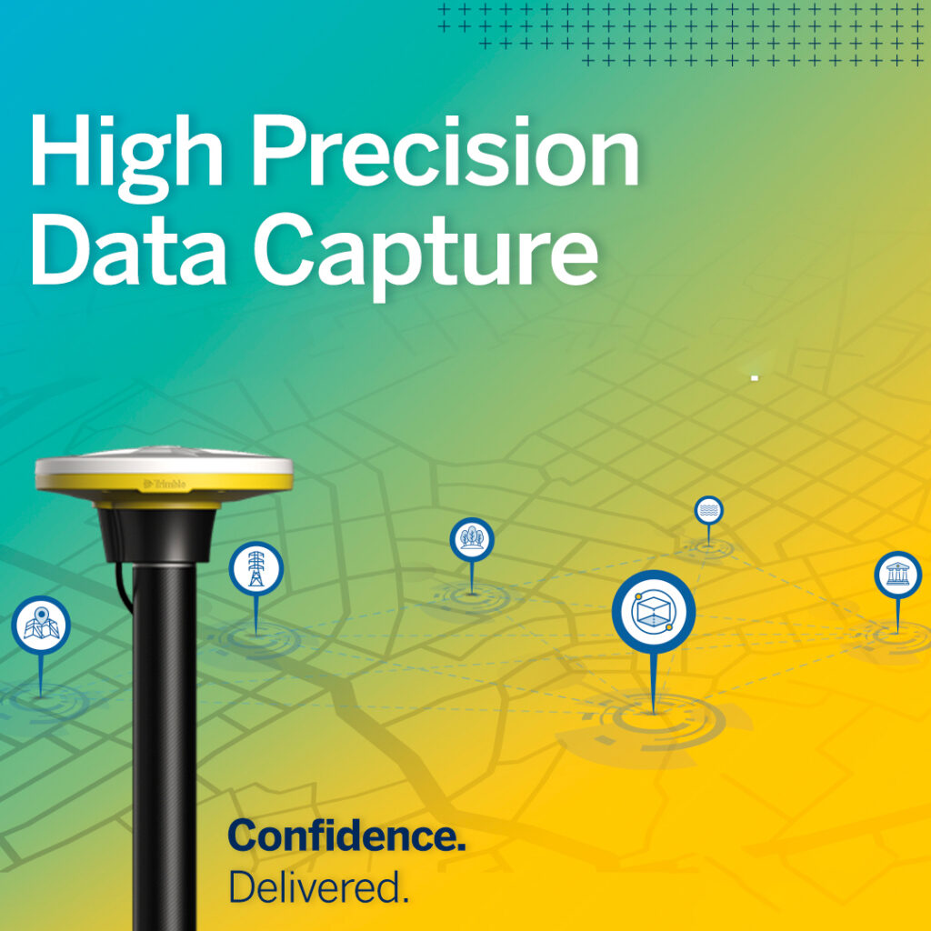
Trimble Geospatial Products
Get the right data collector to get the job done.
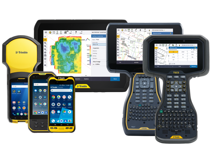
Trimble Geospatial integrates a wide range of positioning technologies including GPS, laser, optical and inertial technologies with application software, wireless communications and services to provide complete commercial solutions. Its integrated solutions allow customers to collect, manage and analyze data easily. Trimble’s integrated technologies makes its users more productive, efficient and highly profitable.
Geospatial Solutions
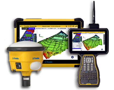
By integrating sensors, field applications, real-time communications, field and back-office processing, modeling, and analytics, Trimble Geospatial solutions facilitate high quality, productive workflow and data exchange to drive efficiency, productivity, safety and value in organizations and for individuals. Results generated are rich accurate data that can be transformed into the intelligence customers operations require to make informed decisions.
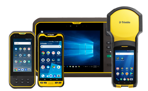
For all your GIS data collection, maintenance and asset management, you can rely on Trimble GIS handhelds for unparalleled accuracy and reliability. Trimble GIS handhelds and tablets integrate GNSS with hardware that is designed and tested for the demanding field conditions you work in.
Read More …
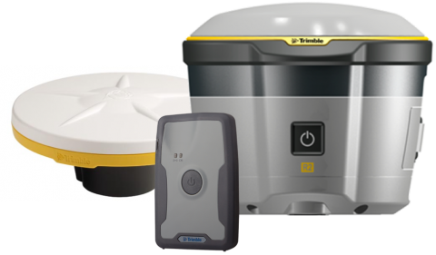
Trimble GNSS receivers are flexible positioning solutions for productive and accurate GIS data collection. With the freedom to choose from a range of configurations, Trimble GNSS receivers provide timely and accurate data for decision-making and integrate seamlessly with industry standard GIS systems and professional GIS data collection workflows.
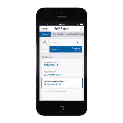
Trimble field software solution allow seamless data flow between the field and your GIS or asset management system. With the most up-to-date field data, you can be sure you are making the right decisions when managing your assets and resources.
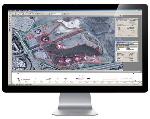
Trimble Software solutions facilitate a continuous data flow between the field and your GIS or asset management system. Trimble Positions Desktop offers a seamless integration into the Esri environment for Esri users who utilize Trimble TerraSync as their field software solution, providing a streamlined data collection straight into their GIS
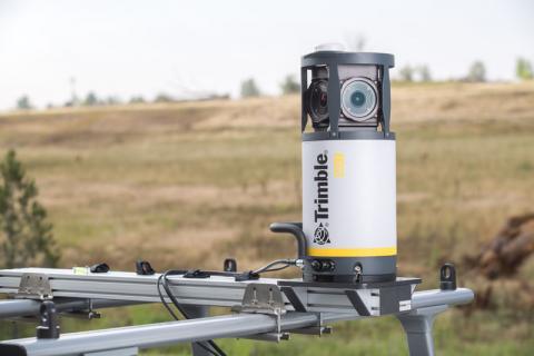
The Trimble MX7 Mobile Mapping Imaging System is a fast and cost effective way to document site conditions with geo-referenced images and manage assets such as bridges, buildings, roads, highways and power stations.
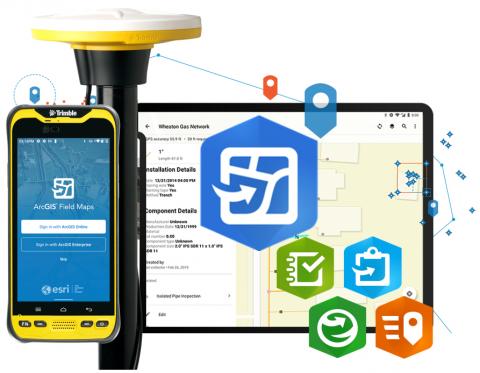
Trimble + Esri
Trimble is a trusted Esri partner and a global leader in positioning technology. Our solutions serve GIS users in multiple industries worldwide, bringing together hardware, software and services that integrate seamlessly with Esri workflows to help you get the best data to make the right decisions for your business.
Make Your Mark
with Trimble.
Bringing field operations and office applications
together seamlessly in one streamlined workflow.
