ArcGIS Solutions for Emergency Management
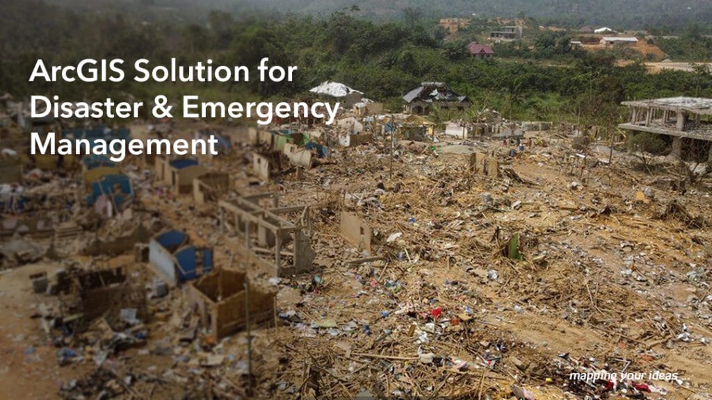
ArcGIS Solutions for Emergency Management is a collection of configurable maps and apps for organizations that manage disasters and threats. You can deploy apps that help you prepare for emergencies, mitigate hazards, and coordinate response and recovery. These apps are integrated with the ArcGIS system and designed to provide situational awareness to support your mission.
The ArcGIS Solutions for Emergency Management can be used to capture incident status and show to the response teams and decision-makers, who is impacted and how. The solution also aids in the sharing of threat alerts, notices of evacuation zones, routes, and the locations of services.
In Emergency situations such as the Appeatse explosion this solution could help coordinate the activities of support and rescue teams such as the fire service, ambulances, police and among others to perform needs assessment, and track emergency supplies like food and water.
Additionally, the solution can be used to gather feedback from residents and businesses in the affected area to assess the level of damage to residential facilities, businesses, and social amenities in the community. Data collected can be applied to speed up local governments efforts to track and identify vulnerable residents, communicate road closures, service outages, damaged structures, health and safety issues to help provide the right support to the disaster victims and communities at large.