Using Geospatial Data to Help Organizations Make Better Decisions
Business Day interviews the Managing Director of Sambus Geospatial
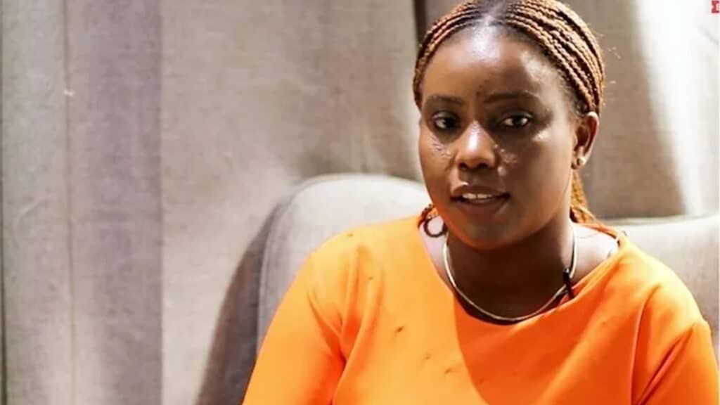
AKUA ABOABEA ABOAH, managing director, Sambus Geospatial in this interview with BusinessDay’s FRANK ELEANYA speaks on the geospatial market in Nigeria and Africa and the opportunities. The company opened its Lagos office recently and is looking to help the Nigerian authorities and businesses understand the need for geospatial technologies in aiding decision-making and monitoring operations from electricity to military.
Sambus should be 35 this year, tell us about the journey so far?
That’s an interesting question. It reminds me of my father, because he started the business, registered it 35 years ago, May 1987. And now we have offices in Accra and Kumasi in Ghana. We also have offices in Abuja, Kano and this year, we are starting an office in Lagos. I think of these five branches, and I’m proud of where we are after 35 years. In the next five years, we are thinking of setting up in Liberia, Gambia, and Gabon hopefully.
So what exactly does Sambus do?
Think of Sambus as a geospatial company, which has affiliations and franchises that support special knowledge and information dissemination.
I use the example generally of utility networks. So we all want electricity, we all want water, but how do we effectively get water or electricity to you, the customer, because you pay for value, the service, and you must get it at all times and get it well.
When I think of the value Sambus adds to such an institution, I think of the fact that the electricity company wants to know where all their network lines are, right?
They want to know the amount of power or water flowing through these systems. They want to know when there’s a leakage or shortage or anything on the systems.
“There’s no industry that we do not play because people want to know what is happening in every context on a data site”
They want to know it on a geographical platform that gives them real-time information. They want to know this, so they could quickly resolve it and make sure that your water or your electricity doesn’t go off.
This is what we deliver, spatial information, real-time knowledge. This allows you to effectively solve the problems or aid the decision-maker at the top. It could guide where to put more money in delivering better service to the customer.
How do you provide that service?
We have systems and structures, we have data collection devices, we have software that does the analytics at the backend, we have tracking systems, we have sensors, we have all these feeding into a whole system that allows you to sit at your desk and see all this. That is our work, and we do it very well.
Visit Business Day to read the entire interview…
Source: We are Using Geospatial Data to Help Organizations Make Better Decisions, 2022, Business Day, accessed March 2022 (Business Day )

