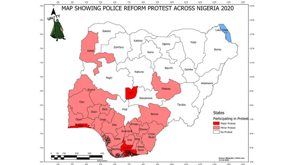
The #ENDSARS protest in Nigeria began as a demand for Justice but escalated into a nationwide if not a global concern. The youth claimed that officers responsible for some unlawful […]
Combating Crime in Nigeria using GIS
All Posts on Sambus Geospattial Limited
The #ENDSARS protest in Nigeria began as a demand for Justice but escalated into a nationwide if not a global concern. The youth claimed that officers responsible for some unlawful […]
Your Best Achievement Needs a Second Pair of Eyes at Least When we do certain things at our workplace, we tend to think we have the best knowledge, experience, and […]
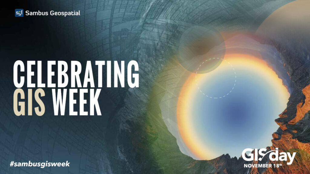
Geospatial industries in West Africa joins the world in celebrating Geographic Information System – GIS as Esri’s president Jack Dangermond mapped out November 18th for the celebration of GIS Day2020. […]

Esri has announced the upcoming Q3 2020 release of ArcGIS Business Analyst Web App, Mobile App, and Community Analyst which is planned for the end of September 2020. The new […]
There are several reasons why health agencies are turning to Geographic Information Systems (GIS) applications, but research application is at the top of it all. The fact that this discipline […]
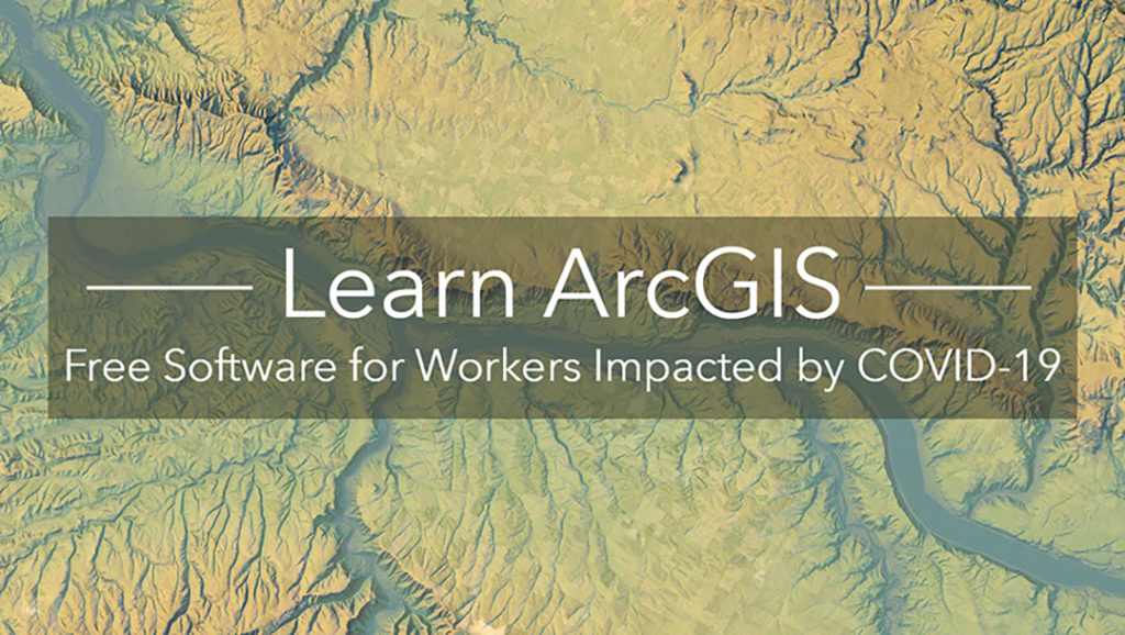
Complimentary Software and Training Program for Professionals Extended Through December 31 As the COVID-19 pandemic continues to impact the economy, millions of individuals remain furloughed, working on a reduced schedule or seeking other opportunities. Many are using this […]
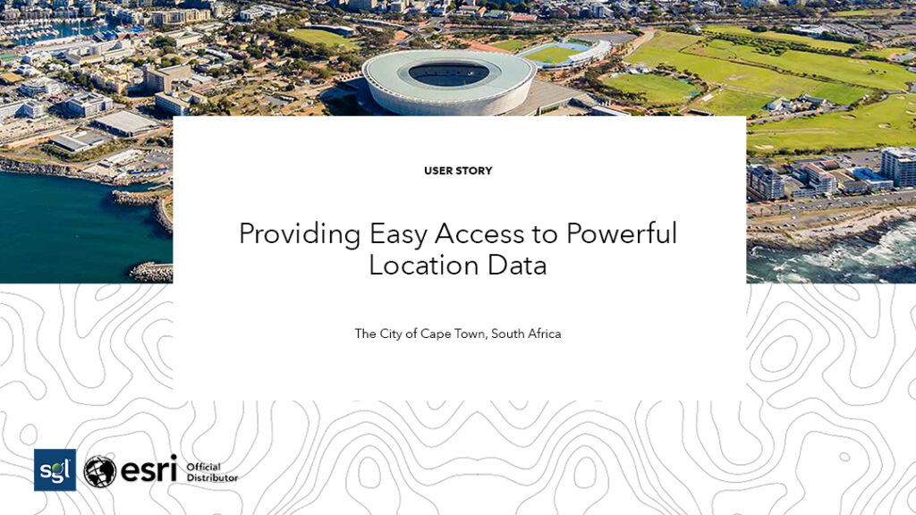
The City of Cape Town, located in South Africa, has an enormous amount of publicly available data on the 850,000 properties within its boundaries, which includes the associated services and […]
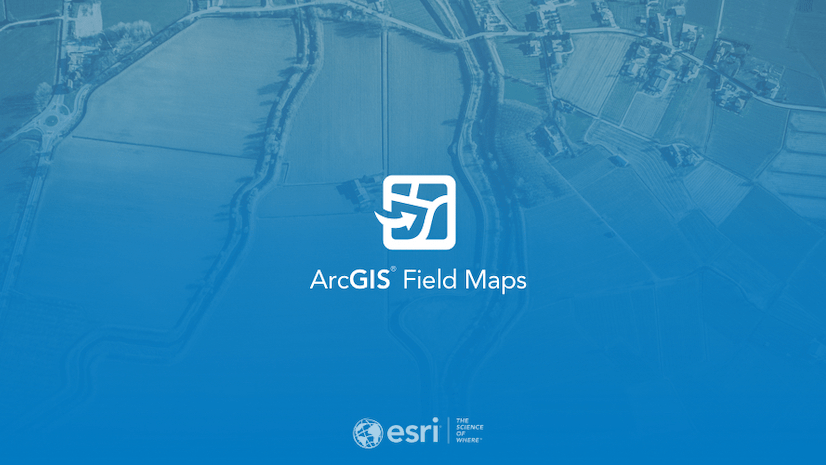
Introducing ArcGIS Field Maps ArcGIS Field Maps is Esri’s new premier maps app on iOS and Android devices. Field Maps will combine the following capabilities into a single app that […]
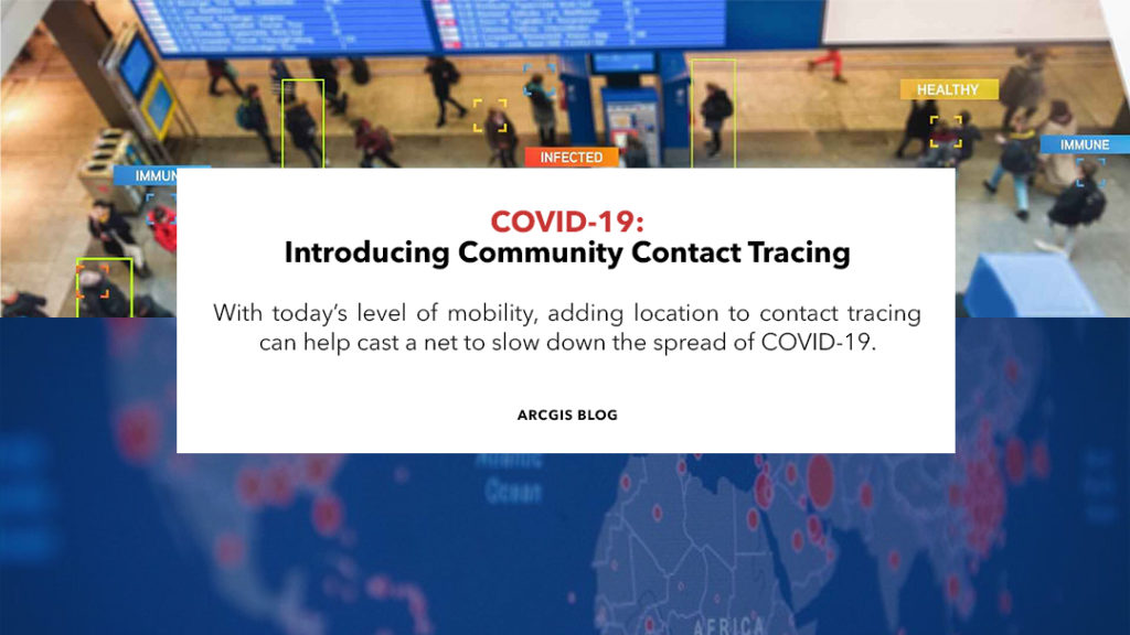
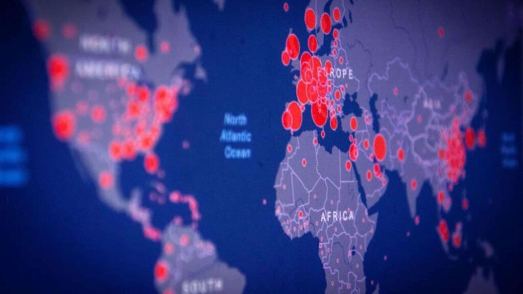
COVID-19: Introducing Community Contact Tracing With today’s level of mobility, adding location to contact tracing can help cast a net to slow down the spread of COVID-19. Key Takeaways Viral […]

Although the coronavirus disease 2019 (COVID-19) pandemic, by definition, was a global event, like all disasters, it was experienced locally by millions of individuals who lost their loved ones, their […]