Many companies and institutions go after updated and future driven 3D GIS solutions which include client applications that aim at a precise functionality and also have need of real- life […]
Bridging the World of 3D GIS and Game Engines
Many companies and institutions go after updated and future driven 3D GIS solutions which include client applications that aim at a precise functionality and also have need of real- life […]
Story maps visualize user stories to create an understandable information. It is developed with features that helps in the exploration of the content to produce an expansive view of the […]
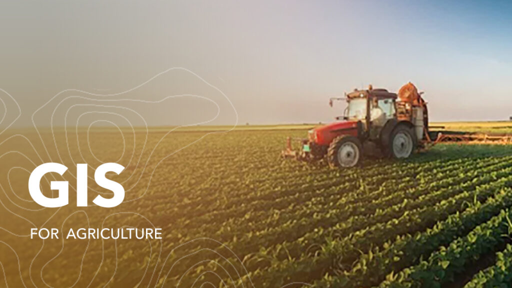
Agriculture has been the driving force of development and growth of many civilizations and economies. It is often referred to as the science of cultivating plants and rearing of livestock. Over time, industrial agriculture has revolutionized and as part of that change the sector has adopted more efficient and productive methods in cultivation and animal husbandry.
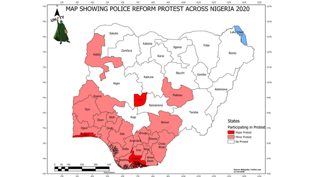
The #ENDSARS protest in Nigeria began as a demand for Justice but escalated into a nationwide if not a global concern. The youth claimed that officers responsible for some unlawful […]

Geographic Information systems – GIS is a framework for gathering, storing, analyzing, and displaying spatially referenced data. GIS has improved forest inventory data thus enabling foresters to improve forest conditions, […]
Port Assets Management with Location Intelligence Systems. Location plays a critical role in all transportation activities. The recent advances in GIS (geographic information system) technologies have resulted in the development […]

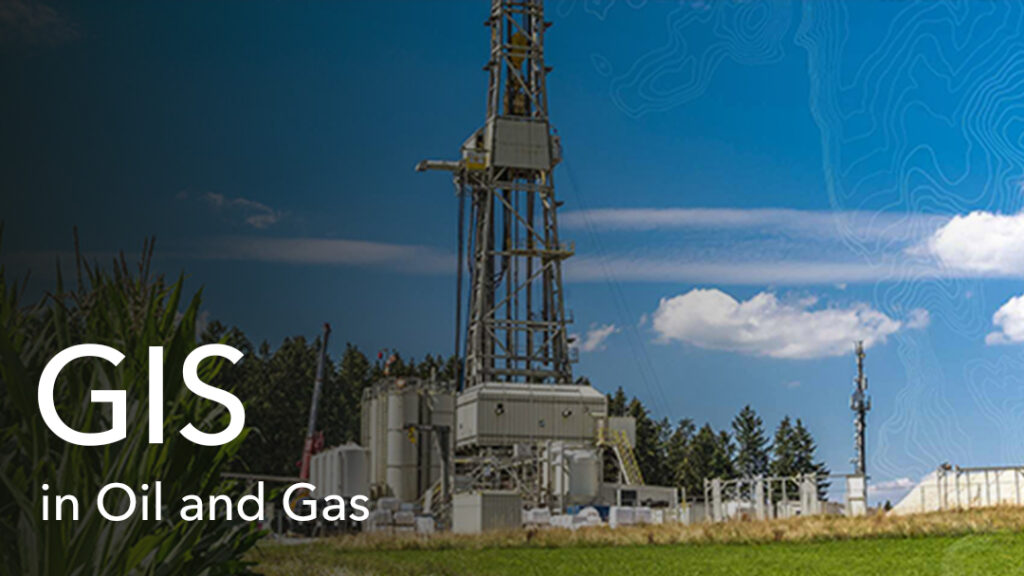
Geographic Information System (GIS) is a software framework for capturing, storing, analyzing, and displaying spatial data. It analyses spatial location and organizes layers of information into visualizations using maps or […]
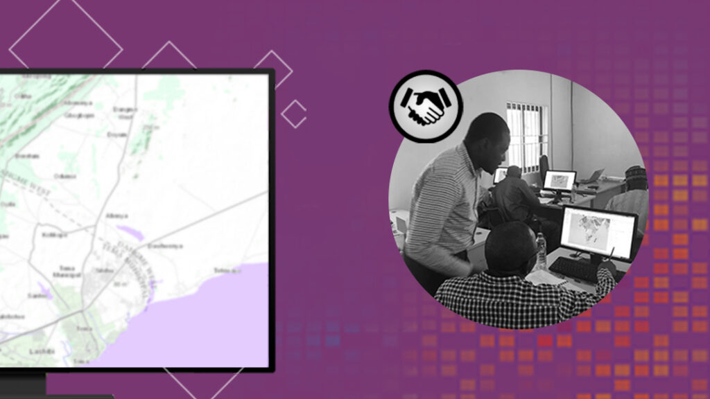
Your Best Achievement Needs a Second Pair of Eyes at Least When we do certain things at our workplace, we tend to think we have the best knowledge, experience, and […]
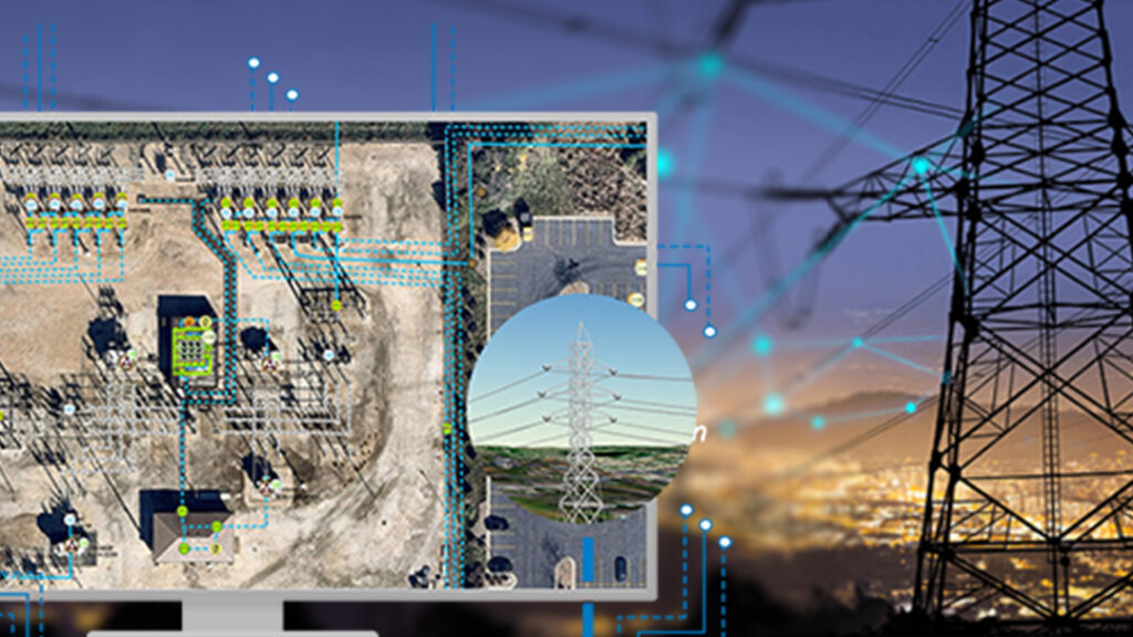
Utilities all through the world are confronting unprecedented changes – from privatization of government- owned utilities, renewable energy down to rivalry for discounted and retail clients. In addition, mergers and […]
Many companies have embraced Digital Transformation in their decision-making processes today as smart technology and connected systems continue to prove how efficient they can be in everyday business operations. The […]