Call Us on : +233(0)302777127 (Accra - Ghana) | +23492922821 (Abuja - Nigeria) | +234(0)9082715613 (Lagos - Nigeria) Email : info@sambusgeospatial.com
Sambus Geospatial | Esri Distributor in West Africa | GIS Company in West Africa
  • Home Page
  • About Us
    • Our history and Identity
    • Our Team
      • Corporate & Advisory Team
      • Sambus Geospatial Ghana
      • Sambus Geospatial Nigeria
    • Projects & Achievements
    • Our Alliances
  • Our Solutions
    • Local Projects
    • Industries
  • Products and Services
    • Esri Products
    • Trimble Products
    • NV5 Products
    • Wingtra
    • Training
    • Consultancy Services
    • Technical Support
  • Blog
    • Blog
    • Sambus Articles
    • Sambus Geospatial Newsletter
  • Careers
  • Contact Us
    • Frequently Asked Questions
Sambus Geospatial | Esri Distributor in West Africa | GIS Company in West Africa > Blog

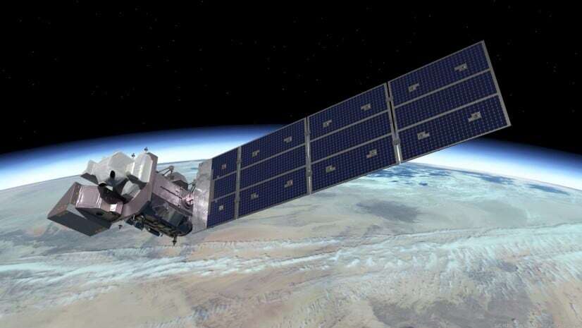
Landsat 9: Introducing Earth Observation Satellite

March 23, 2022 Sambus Geospatial Blog, Esri Comments Off on Landsat 9: Introducing Earth Observation Satellite

History: The Landsat program is a link mission of the National Aeronautics and Space Administration, NASA, and the U.S. Geological Survey (USGS), an Earth Observation satellite for natural resources. The […]

Read more

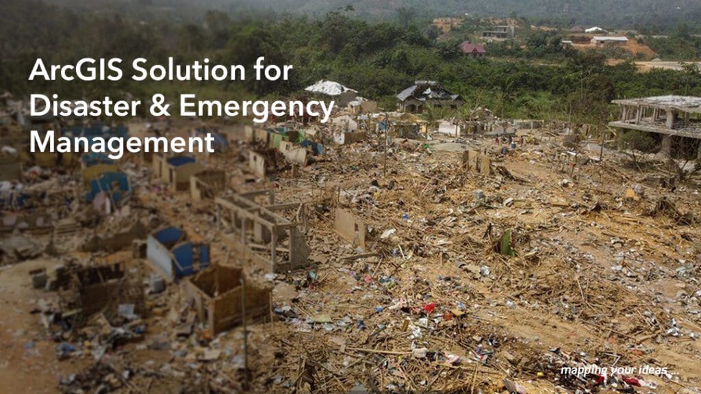
ArcGIS Solutions for Emergency Management

March 9, 2022 Sambus Geospatial Blog Comments Off on ArcGIS Solutions for Emergency Management

ArcGIS Solutions for Emergency Management is a collection of configurable maps and apps for organizations that manage disasters and threats. You can deploy apps that help you prepare for emergencies, […]

Read more

Spatial Analysis (NDVI) of Basin in AMAC, Abuja Nigeria

February 24, 2022 Sambus Geospatial Local Projects Comments Off on Spatial Analysis (NDVI) of Basin in AMAC, Abuja Nigeria

The Normalized Difference Vegetation Index (NDVI) analysis, is critical for managing urban greening and the thermal environment. The biophysical components of the environment are constantly changing daily due to vegetal […]

Read more

Celebrating GIS-DAY 2021

February 16, 2022 Sambus Geospatial Blog Comments Off on Celebrating GIS-DAY 2021

Creating Awareness about Geographic Information Systems (GIS-Day 2021). GIS-Day is a global event celebrated annually to raise awareness on the importance of geographic information systems and how to use GIS […]

Read more

Be the Young Scholar for Sambus Geospatial

February 15, 2022 Sambus Geospatial Blog Comments Off on Be the Young Scholar for Sambus Geospatial

Experience a great Esri User Conference with the winners from other nations and enjoy networking opportunities. The Young Scholar program is an annual competition that recognizes the exemplary work of […]

Read more

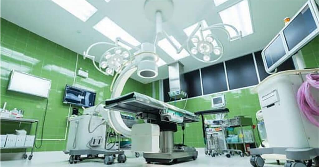
Hospital Mapping: Healthcare Accessibility

February 11, 2022 Sambus Geospatial Local Projects Comments Off on Hospital Mapping: Healthcare Accessibility

In this research, we mapped out health facilities in the Bwari Area council of the Federal Capital Territory. We gathered spatial information of the Hospital and mapped the distances. Also, […]

Read more

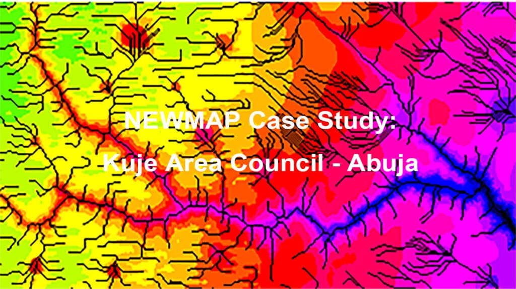
Case Study of Kuje Area Council (NEWMAP)

December 8, 2021 Sambus Geospatial Local Projects Comments Off on Case Study of Kuje Area Council (NEWMAP)

Nigeria Erosion and Watershed Management Project (NEWMAP) aims to mitigate adverse effects of soil and land degradation in the targeted watershed for environmental sustainability in the country. The project aims […]

Read more

Sambus Geospatial Emerges as the Technology Company of the year

November 23, 2021 Sambus Geospatial Blog Comments Off on Sambus Geospatial Emerges as the Technology Company of the year

The Women’s Choice Awards Africa Committee applauds Sambus Geospatial as the Technology Company of the year 2021. The Women’s Choice Awards Africa is an initiative that translates the collective voice […]

Read more

Spatial Analysis of Land Use land Cover of Etsako West LGA of Edo State Nigeria

November 22, 2021 Sambus Geospatial Local Projects Comments Off on Spatial Analysis of Land Use land Cover of Etsako West LGA of Edo State Nigeria

Through a process called image classification, remote sensing is one of the most important tools for the production of land use and land cover maps. Several factors should be considered for […]

Read more

Explaining Image Classification in Land Use & Land Cover Studies

November 22, 2021 Sambus Geospatial Local Projects 1 comment

Image classification in remote sensing is an essential tool to produce land use and land cover maps. For an image classification process to be successful, factors to be considered include […]

Read more
  • « Previous Page
  • 1
  • ...
  • 16
  • 17
  • 18
  • 19
  • 20
  • ...
  • 24
  • Next Page »
Categories
BLOGS
  • How To Prepare For A Conference
  • The Digital Harvest: Boosting Liberian Farm Productivity with GIS
  • How GIS Transformed Nigeria’s Telecom Regulation: The NCC’s Remarkable Journey with ArcGIS 
  • ArcGIS Maritime and ArcGIS Bathymetry Demonstration
  • In Africa, Sustainable Development Hinges on Having Accurate Basemaps
  • Earth Observation to Mitigate Impacts of Climate Change and Support Sustainable Business Decisions
  • Empowering Sustainable Land Management with Drone Technology and Geospatial Analysis
  • From Beginner to Advanced: A Discounted Training Plan for 2025.
  • From Confusion to Competence: 10 Reasons Why People Struggle to Learn GIS.
  • Embracing Innovation: Sambus Geospatial Nigeria Limited’s Transformative GIS Day Celebrations.

Sambus Geospatial is an applications development firm that provides a range of geospatial solutions to all industries

COMPANY
  • Home Page
  • About Us
    • Our history and Identity
    • Our Team
      • Corporate & Advisory Team
      • Sambus Geospatial Ghana
      • Sambus Geospatial Nigeria
    • Projects & Achievements
    • Our Alliances
  • Our Solutions
    • Local Projects
    • Industries
  • Products and Services
    • Esri Products
    • Trimble Products
    • NV5 Products
    • Wingtra
    • Training
    • Consultancy Services
    • Technical Support
  • Blog
    • Blog
    • Sambus Articles
    • Sambus Geospatial Newsletter
  • Careers
  • Contact Us
    • Frequently Asked Questions
OUR TEAM
  • Teams
  • Careers
  • Jobs
PRODUCTS
  • ArcGIS Desktop
  • ArcGIS Online
  • ArcGIS Enterprise
  • Trimble Products
  • NV5 Products
  • Wingtra Drones
NEWS
  • Articles
  • Newsletters
  • CSR Activities
GHANA OFFICE

F702/1 Salem Street, Kuku Hill, Osu

Accra, Ghana

NIGERIA OFFICE

Abuja Office: No. 19 Ebitu Ukiwe Street, Jabi, Abuja – Nigeria.

Lagos Office: Plot 1601 Adeola Hopewell Street, Victoria Island, Lagos – Nigeria.

Sambus Geospatial Services . All right Reserved

Have a project? Let's talk.

Give us a call or leave a message, we endeavour to answer all enquiries within 24 hours on business days.

Call Us on : +233(0)302777127 (Accra - Ghana) | +23492922821 (Abuja - Nigeria) | +234(0)9082715613 (Lagos - Nigeria)

Email : info@sambusgeospatial.com