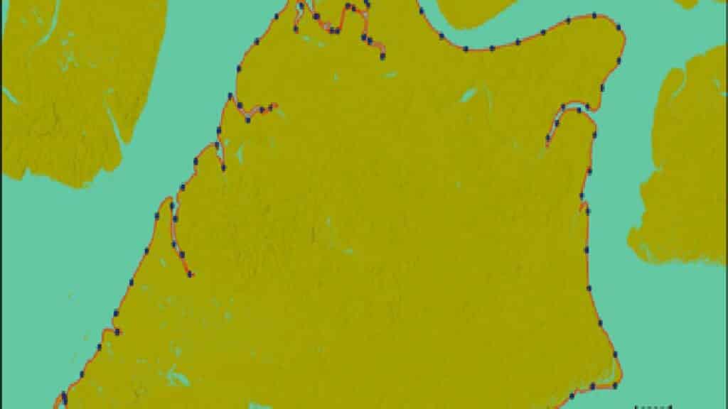
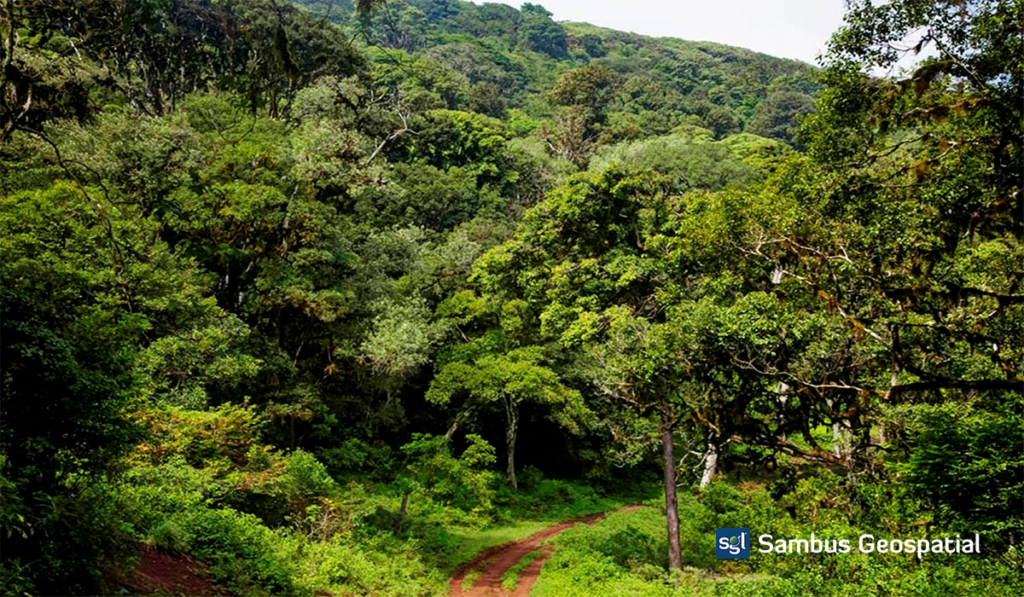
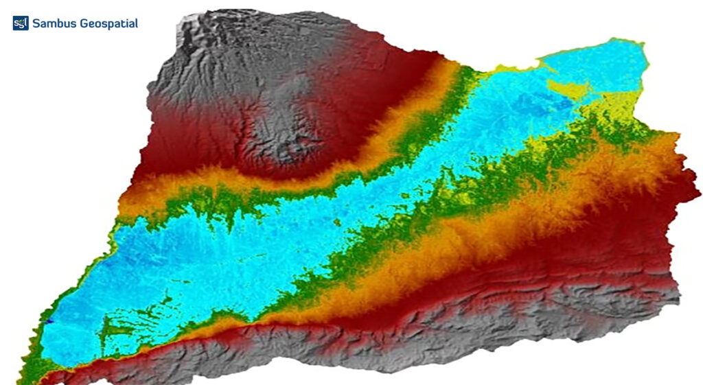
This project aims to analyse vegetation’s spectral reflectance changes in the Akure forest reserve over time using the LandTrendr tool in ArcGIS Pro. Change Detection Analysis encompasses a broad range […]
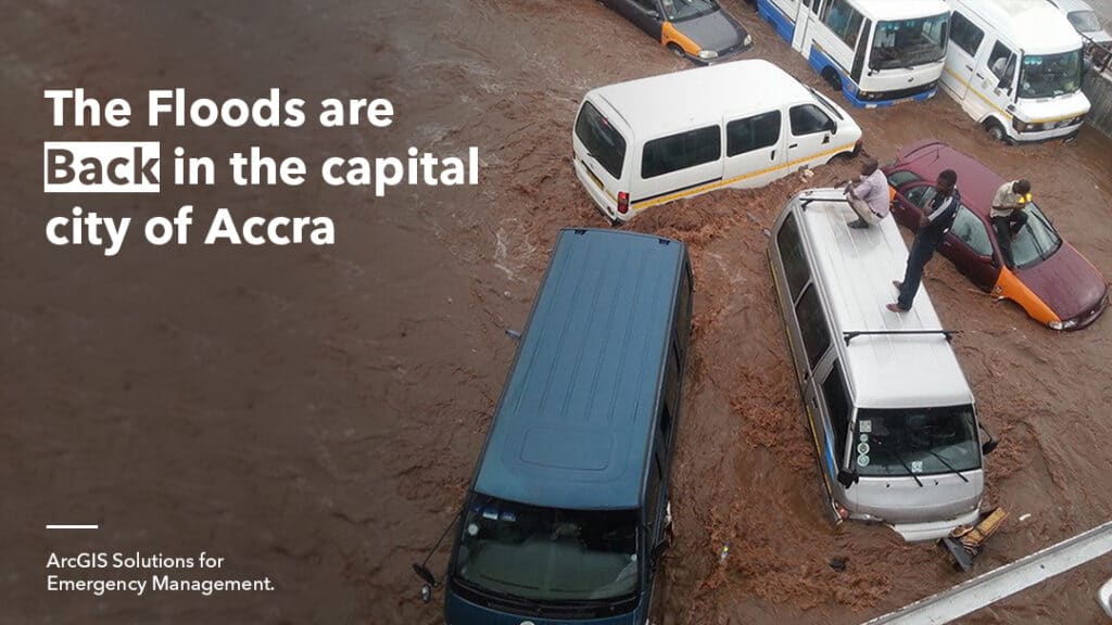
The Greater Accra Region has experienced a high rainfall record this year resulting in historic flooding in most parts of the region. The flood has destroyed homes and caused damage […]
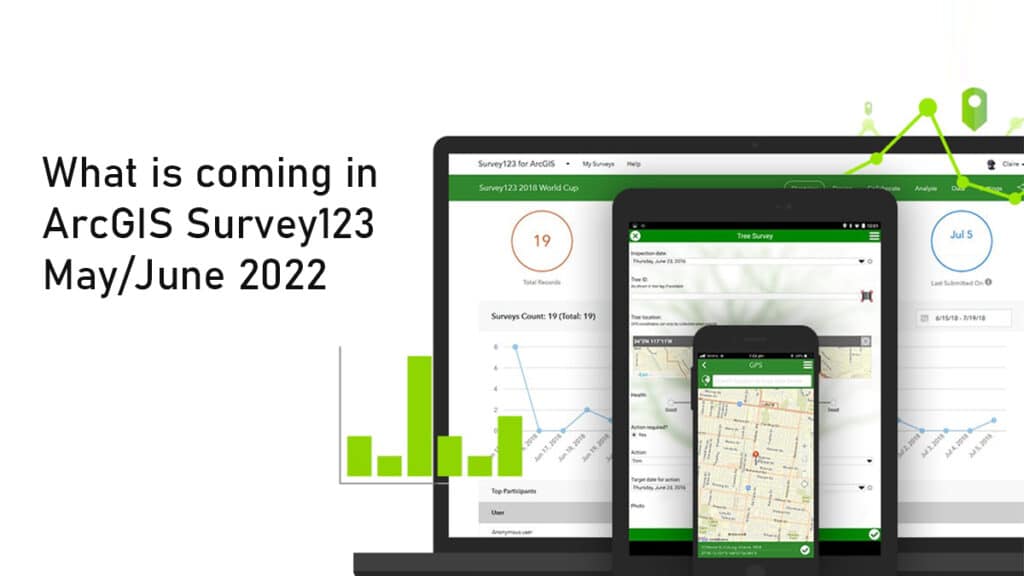
Esri develops a Beta model of the Survey123 June 2022 (construct 3.15) in the update in the Early Adopter. Test the new features and validate your existing works today. Take […]
Background: A flood occurs when water overflows and submerges onto usually dry land. Flooding is often thought of as a result of meteorological events such as heavy rainfall. However, floods […]
Drones! You’ve heard about them and seen them all over the place. Drones provide endless possibilities and applications, whether flying around a room or shooting unusual aerial footage even in […]
In recent years, artificial intelligence (AI) has advanced rapidly, equal or even surpassing human accuracy in tasks such as image recognition, reading comprehension, and text translation. In broad terms, AI […]
Python has become an essential programming language for geospatial analysis because it has become adopted by major GIS platforms. Increasingly, users have also seen its potential for data analysis and […]
Take part in a step-by-step learning series on the application of Key ArcGIS tools and Workflows in real world Scenarios. The latest lesson updates in the Learn ArcGIS Gallery for […]
Land surface temperature is the degree of hotness the “surface” of the earth would feel to the touch in a particular location. From a satellite’s point of view, the “surface” […]
GEOSPATIAL DATA CREATION The traditional methods of generating spatial data in on the field have been restricted, but recent technological advancements have broadened the range of options for generating spatial […]
Give us a call or leave a message, we endeavour to answer all enquiries within 24 hours on business days.